Get Full Government Meeting Transcripts, Videos, & Alerts Forever!
County staff previews interactive conservation/open-space map for Summit County
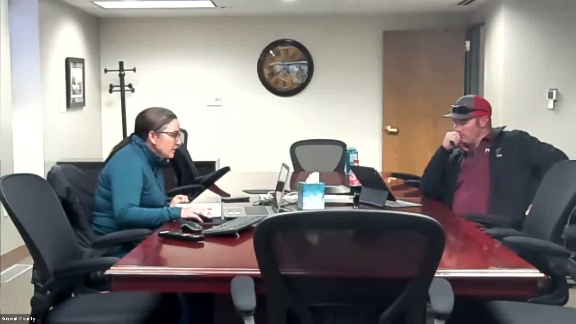
Eastern Summit County Agriculture Preservation and Open Lands Advisory Committee · January 11, 2024
AI-Generated Content: All content on this page was generated by AI to highlight key points from the meeting. For complete details and context, we recommend watching the full video. so we can fix them.
Summary
Summit County staff previewed an interactive map of conservation easements and open-space parcels, showing ownership and connectivity; staff said the map will be published via ArcGIS Online and used for planning and public viewing.
Jess Kirby, Summit County staff, previewed a draft interactive map showing conservation easements, county open space, forest-service and DNR holdings, municipal parcels and reservoir parcels, and explained color coding and planned public…
Already have an account? Log in
Subscribe to keep reading
Unlock the rest of this article — and every article on Citizen Portal.
- Unlimited articles
- AI-powered breakdowns of topics, speakers, decisions, and budgets
- Instant alerts when your location has a new meeting
- Follow topics and more locations
- 1,000 AI Insights / month, plus AI Chat
30-day money-back on paid plans