Get Full Government Meeting Transcripts, Videos, & Alerts Forever!
Get email alerts on the Urban Growth Boundary topic
No spam. Unsubscribe anytime.
City, County planning commissions recommend expanding Roseburg
Summary
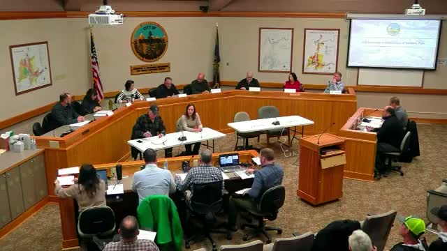
After a public hearing with neighbors and recreational advocates speaking on both sides, Roseburg City and Douglas County planning commissions voted Dec. 2 to recommend expanding the urban growth boundary to include 49.92 acres of Sunshine Park and to forward map and zoning changes to their respective final decision-making bodies.
Roseburg City and Douglas County planning commissions voted Dec. 2 to recommend including 49.92 acres of Sunshine Park within the city limits and to update comprehensive-plan and UGMA maps, advancing park-oriented zoning and enabling future trail development.
City planner Stuart opened the joint hearing and told commissioners the package includes a UGB expansion, annexation, a comprehensive-plan map designation of public/semi-public (PSP), a zoning change to public reserve (PR), and UGMA map updates. Planner Sam Huck of 3 j Consulting said the city established a 20-year land need using Portland State University forecasts and an existing parks master plan and selected a portion of Sunshine Park (49.92 acres of "Site A") as the best location to meet parkland needs.
"The objective of this is for the city to be able to essentially gain control of its park property," Huck said, explaining the legal and administrative steps needed before the city can make park improvements without repeated conditional-use permitting.
Opponents at the hearing warned of safety and compatibility concerns if the property is developed for trails. Matthew Henry, who lives atop the hill at Sunshine Park, cited wildfire risk data and argued the record shows the city has not demonstrated the proposed use would be compatible with adjacent uses. "Numerous sites show that my address specifically has a 9 out of 10 fire factor," Henry said, and he urged the city to commit to more aggressive mowing of steep slopes.
Adjacent landowners including Dan Dawson, who runs a 1,250-ewe operation next to the park, and JR Adams of Nordic Veneer raised concerns that increased public access could bring people and dogs close to working livestock, log decks and private property. Elizabeth Henry cited trespass incidents, a Nov. 11 park fire and worries about parking overflow, privacy and trail safety in wet weather.
Supporters said the proposal would create managed access and a community resource. Evan Cruz, a youth mountain-bike coach, said similar trail projects near residences often develop an engaged user base that volunteers to maintain and protect trails. Staff also noted two written letters of support from Thrive Umpqua and the Umpqua Veil Club in the record.
Staff described mitigation already taken to address neighbor concerns including new fencing by adjoining homeowners, removal of dangerous trees, purchase of a mower suited to steep terrain and installation of video security cameras that will be monitored by the Roseburg Police Department. "We consulted with three fire agencies and each has concurred that a trail system will enhance fire protection," Stuart said during the presentation.
Commissioners emphasized that the current votes concerned boundary and map changes, not detailed operational conditions. Several commissioners noted that conditions related to trail design, patrols, gates or other site-specific measures would be addressed later through a conditional-use or operational review.
A motion presented to the city planning commission asked staff to prepare findings recommending the city council approve the five city land-use actions listed in the staff packet (UGB expansion to include 49.92 acres, annexation, map amendment to PSP, zone change to PR, and UGMA map amendment). The motion carried. The Douglas County Planning Commission voted separately to amend the UGB boundary to include the same 49.92 acres and to update UGMA maps and also forwarded a recommendation to the Board of County Commissioners.
The planning commissions recommendations will be transmitted with written findings to the Roseburg City Council and the Douglas County Board of Commissioners, which will make the final decisions. The joint hearing record includes staff reports, letters of support, and written materials cited by opponents and agencies. The city file is listed in the hearing record as CPA (city file referencing the CPA notation submitted at the hearing) and the county planning file was identified as 24-081.
A commissioner announced their resignation at the end of the meeting, and the chair adjourned the hearing.