Get Full Government Meeting Transcripts, Videos, & Alerts Forever!
Get email alerts on the Zoning Land Use Tutorial topic
No spam. Unsubscribe anytime.
Moore County planners brief commissioners on zoning, land-use consistency and special-use rules
Summary
Planning staff walked Moore County commissioners through the Unified Development Ordinance, zoning districts, watershed overlays, and how the board must frame land-use consistency and reasonableness findings; the session ended with a voice vote to adjourn.
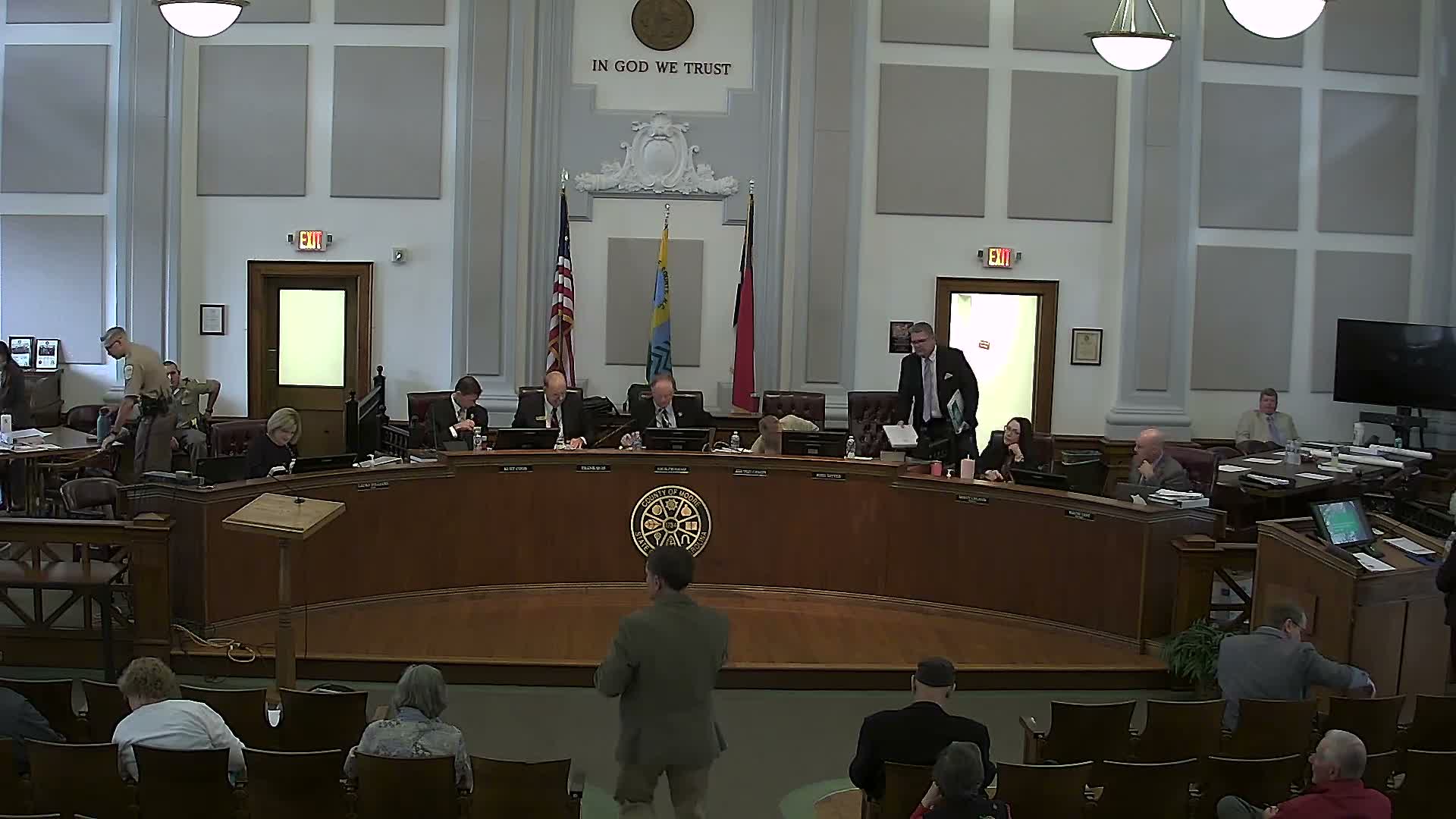
Moore County planning staff on Monday gave the board of commissioners a focused tutorial on the county's Unified Development Ordinance, zoning districts, and the legal framework for land-use consistency and special-use permits. The presentation, led by Deborah of the planning department, was described as "for the citizens" and accompanied by a distributed notebook and official zoning map.
The presentation reviewed the range of zoning districts in the county, from rural-agricultural categories (RA20, RA40, etc.) to neighborhood and highway commercial, industrial, and conditional zoning districts. Deborah walked commissioners through the table of uses contained in each district tab and noted which uses are permitted by right, which require conditional rezonings, and which require special-use permits.
Deborah pointed to overlay districts that affect development standards, including highway corridor overlays (urban and rural) and watershed overlays. She cited specific thresholds for those watershed districts, saying WS2 corresponds to a 12% built-upon-area threshold and WS3 corresponds to 24% built-upon area, and reminded the board that flood-hazard areas are mapped in the provided materials.
Using a recent conventional rezoning on Murdock's Field Road as an example, Deborah explained how the board's action interacts with the county's future land-use map: if the board adopts a zoning map amendment that is inconsistent with the future land-use map, the amendment simultaneously updates the future land-use map so no separate plan amendment is required.
On decision-making standards, Deborah emphasized the distinction between legislative and quasi-judicial proceedings. "Legislative is discretionary," she said, "...Quasi-judicial is facts that's provided during the hearing from people that have standing. And you're sworn in." She said quasi-judicial matters rely on sworn testimony and an evidentiary record, while legislative matters are decided using the board's discretion and policy judgments.
Deborah also summarized the county's review bodies and staff roles: the planning board (which also serves as the watershed review board), the board of adjustment and its role on variances, the subdivision review board, and the planning administrator's administrative duties (issuing permits, maintaining the official zoning map, interpreting boundaries, and providing technical assistance).
Commissioners raised readability concerns about the number of zoning categories and symbols in the UDO. The chair praised the tutorial and recommended posting the material as a PDF under a frequently asked questions page on the county website so citizens could more easily access the guidance. Deborah said staff is updating the land-use plan and can bring recommendations to the planning commission about simplifying categories or clarifying the materials.
The meeting concluded after a brief period of final questions. The chair recognized a motion to adjourn from Commissioner Von Canis, seconded by Commissioner Cook, and a voice vote was taken; the chair announced the meeting adjourned until 5:30.
What happens next: staff indicated they are updating the land-use plan and can return with recommendations to simplify zoning categories and formats for public distribution.