Get Full Government Meeting Transcripts, Videos, & Alerts Forever!
Get email alerts on the Transportation Active topic
No spam. Unsubscribe anytime.
Lehi staff previews Bike & Pedestrian Master Plan focused on near-term safety, connectivity and 11-mile expansion
Summary
Planning staff presented a draft Bike & Pedestrian Master Plan that prioritizes safety and connectivity over the next 5–10 years, including a pilot lighting project, a proactive safety analysis and plans to add 11 miles of paved trails and 12 miles of on-street bike infrastructure.
Planning staff presented a draft Bike and Pedestrian Master Plan to the Lehi City Planning Commission during a work session, stressing short-term, implementable goals and a focus on safety and connectivity.
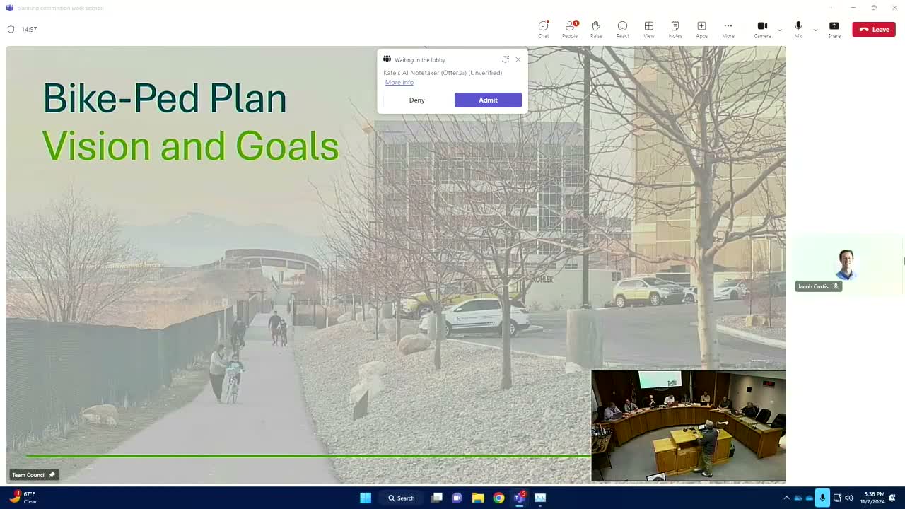
The plan’s vision, as read by staff, is: “Lehi will be safe and comfortable for families and individuals of all ages and abilities to walk, bike, and roll to their desired destinations,” language the presenter said was developed through online Engage Lehi outreach, workshops with a steering committee and a council workshop.
Staff outlined eight near-term goals the commission will use to shape the full plan. Among the most consequential are updates to design standards so features such as raised crossings at trail–street intersections are codified for future development; mapping and prioritizing missing sidewalks with a target to add 20% of gaps on developed roads; and a lighting program that targets roughly 16 miles of trails, with a one- to two-mile pilot on the rail trail.
On active infrastructure, staff proposed adding 11 miles of paved trails and 12 miles of on-street bike facilities within five to ten years. The presenter noted the city already added nearly 30 miles of trail over the past decade and said the proposed expansion would be ambitious but achievable through developer requirements and targeted funding.
The 700 South cycle track — a separated bikeway that staff counted as about 1.88 miles of the city’s 72 miles of paved trails — drew particular attention. Members discussed trade-offs including the loss of curbside parking for some neighbors, maintenance costs for stripe and delineator upkeep, and whether the cycle track alignment should have been placed on the south side to better serve schools and parks. The presenter summarized public reaction: “I’d say maybe 60 or 70% positive,” while acknowledging complaints from adjacent residents who lost on-street parking.
Staff also described a proposed proactive safety analysis, modeled on a Federal Highway Administration (FHWA) standard and international Vision Zero concepts, that would score streets and trails as safer (green), moderate (yellow) or dangerous (red) based on speed, facilities and pedestrian exposure. “We think it’ll be innovative. We think it’ll be the first city that we know of in the US to try and attempt some kind of an analysis like this,” staff said.
Commissioners asked for clarifications on priorities, suggested prioritizing walking routes to schools, and recommended further work sessions tying plan elements to the downtown revitalization effort and transit-oriented development. Staff said the draft will be refined and return to the commission for a recommendation before going to city council for final adoption.
Next steps: staff will clean up the draft text and maps, circulate a packet to commissioners and present the plan again for recommendation and subsequent council consideration.