Get Full Government Meeting Transcripts, Videos, & Alerts Forever!
Get email alerts on the Project Update topic
No spam. Unsubscribe anytime.
DOTD, consultants outline technical work and NEPA path for Mississippi River connector
Summary
DOTD and Atlas Technical briefed the Capital Area Road and Bridge District on three preliminary Mississippi River crossing alternatives, detailed pre-NEPA technical work (geotech, bathymetry, cultural surveys) and said FHWA will decide whether the project proceeds with an Environmental Assessment or an EIS; a preliminary preferred alternative is expected after public meetings in mid-2025.
DOTD project staff and consultant Atlas Technical told the Capital Area Road and Bridge District that they are advancing three preliminary crossing alternatives for the Mississippi River LA 1–LA 30 connector and pulling forward technical studies to reduce the risk of selecting an unbuildable alignment.
"We're gonna go through a quick project update on the Mississippi River Bridal, LA 1 to LA 30 connector project in the Greater Baton Rouge area," said Kara Morey, Atlas Technical project manager for LA DOTD, summarizing the three alternatives and the project’s purpose to increase capacity, provide an alternate route for incident management, and improve system operations.
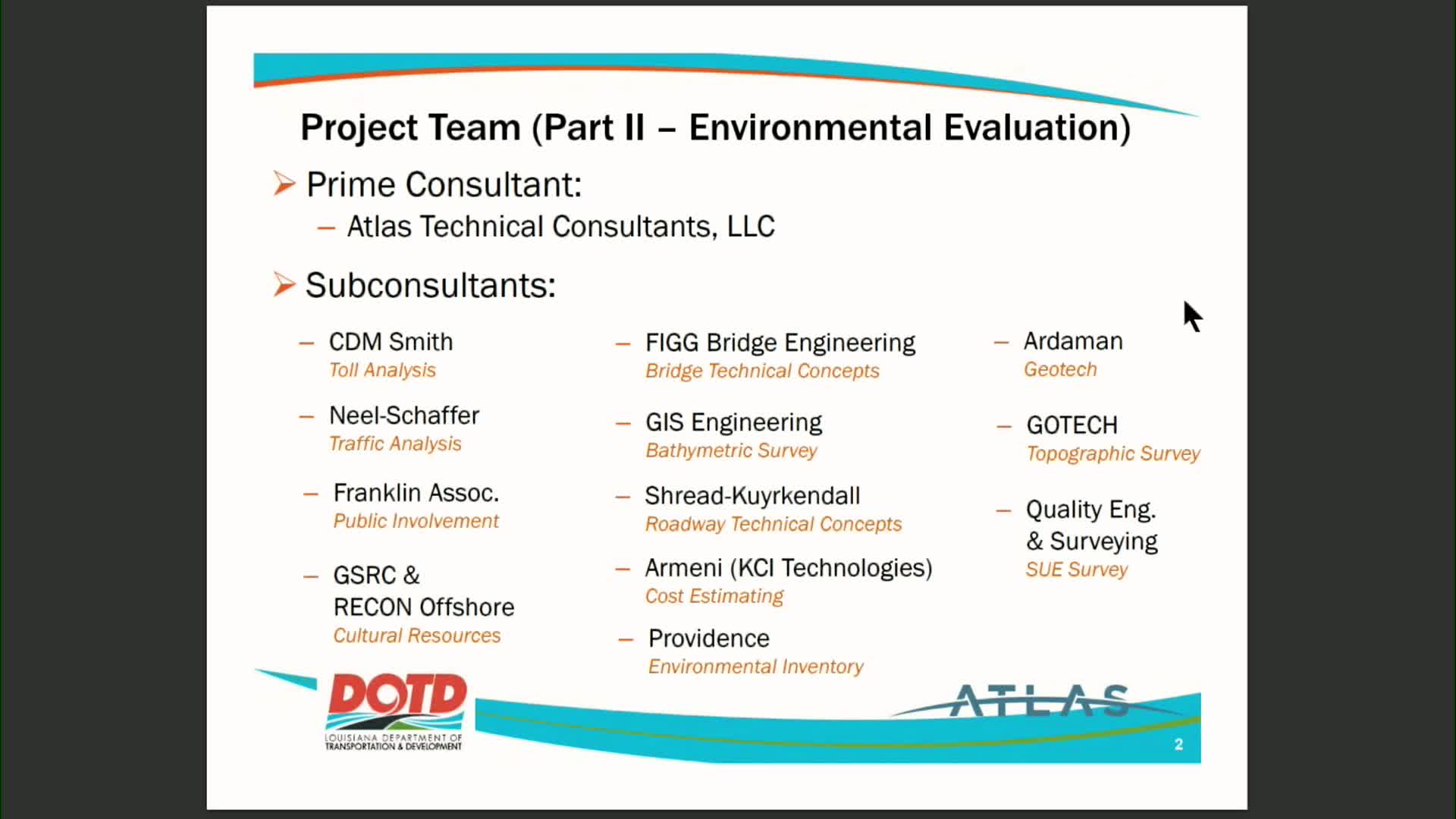
Consultants said the team has completed or advanced a range of pre-NEPA field work: lidar and topographic ground-truthing, subsurface utility engineering at critical intersection tie-ins, bathymetric surveying of the river, a marine archaeological survey, and an extensive geotechnical program that included 18 soil borings (110–224 feet), 23 cone-penetration tests, and electrical resistivity surveys. Atlas said about 1,700 acres were surveyed in 600-foot corridors for each alternative and that roughly 2,000 of an expected 7,000 shovel-test pits for cultural resources have been completed.
"As Paul said, a lot of these things have been pulled out in front of NEPA so we are confident when we come out of the process that whatever alternative we select will be viable," Morey said.
DOTD and Atlas described schedule impacts: the team estimates being roughly a year behind prior projections because of added technical steps, contract timing to bring on specialist teams, and recent FHWA guidance and rulemaking. They said those discussions with FHWA inform whether the project will proceed as a categorical exclusion, an Environmental Assessment (EA) or an Environmental Impact Statement (EIS).
"Based on what we've found to date, that's still the likely class of action (an EA), but that will have to be coordinated with FHWA," an Atlas representative said. The presenters projected a preliminary preferred alternative by the end of Q2 2025 after the next round of public meetings and comment review.
The team emphasized that permitting and regulatory reviews are part of the path forward: wetland delineations and any waters of the United States determinations will be submitted to the U.S. Army Corps of Engineers (New Orleans district) for jurisdictional review; impacts to jurisdictional wetlands would require a Corps Section 404 permit and Section 10 Rivers and Harbors Act authorization. Cultural-resource findings will be submitted to the Louisiana State Historic Preservation Office under the National Historic Preservation Act consultation process.
The district thanked presenting staff and noted that further technical analysis — particularly lab processing of geotech data and foundation design — remains critical before finalizing cost estimates and a preferred alternative.