Get Full Government Meeting Transcripts, Videos, & Alerts Forever!
Get email alerts on the Sea Level Projections topic
No spam. Unsubscribe anytime.
Scientists tell legislators New Jersey is likely to see 2.1 feet of sea-level rise by 2050; coastal flooding will become more frequent
Summary
University scientists told a legislative hearing that New Jersey has warmed faster than the global average, that sea level is accelerating and that ranges used in state projections show a likely 0.9'—6 2.1 feet by 2050 and 2.0'—6 5.1 feet by 2100 under a moderate emissions scenario.
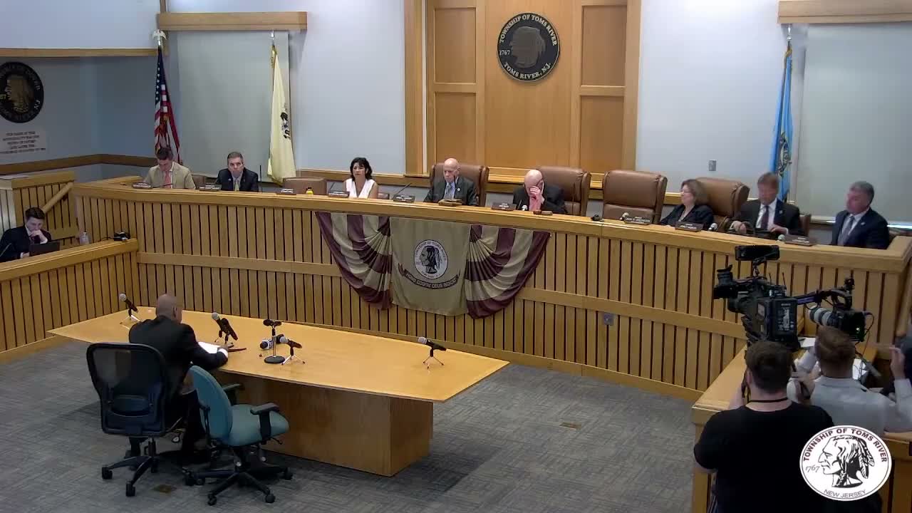
Scientists from Rutgers and Princeton told a joint Senate and Assembly hearing that New Jersey's climate is already changing and that projections show substantial sea-level rise and increasing extreme precipitation.
"Sea level is expected to rise between 0.5 and 1.1 feet by 2030, and 0.9 to 2.1 feet by 2050," Rutgers scientist Professor Anthony Bridal told the committee, adding that the panel's ranges represent outcomes with specified probabilities and that larger or smaller increases remain possible but are unlikely. He said the likely range for 2100 under a moderate emissions scenario is roughly 2.0 to 5.1 feet.
Bridal also told lawmakers that New Jersey has warmed about 4'F since the late 19th century and that heavy precipitation events have grown more common: "In the Northeastern United States including New Jersey, the number of days on which precipitation of 2 inches or more occurs has increased by 49% since 1958," he said. He noted that nuisance or "sunny-day" flooding has already increased in Atlantic City from fewer than one day per year in the 1950s to about eight days per year in the decade ending 2016, and that by 2050 Atlantic City could see nuisance flooding 85 times a year even under a moderate emissions scenario.
Princeton civil engineering professor Ning Li described modeling that generates thousands of synthetic storms and couples storm surge, rainfall and river inflow to estimate compound flooding. Li said that local-scale hydrodynamic models fed by such synthetic storms are being used to create high-resolution flood hazard maps for New Jersey coastal counties under NOAA-funded work.
Why it matters: Committee members used the scientific presentations to evaluate the assumptions behind DEP's REAL rule proposal and to ask what level of probability the state should use when setting standards. Scientists cautioned that projections include ranges and uncertainty but stressed there is high confidence that coastal flooding frequency and severity will increase as sea level rises.
What's next: Witnesses noted ongoing research and federal grant work (NOAA-funded projects) that will refine county-scale compound-flood estimates. Legislators asked for additional technical briefs and documentation to inform rulemaking and funding choices.