Get Full Government Meeting Transcripts, Videos, & Alerts Forever!
Wichita Falls outlines multi-phase wildfire mitigation plan; residents press for private‑land action
Summary
City officials presented maps showing year‑round high wildfire risk and described a three‑phase mitigation plan, including a planned 70‑acre project near Tinker Trail and grant-backed work on private land; residents raised concerns about access, enforcement and homeowners’ outreach.
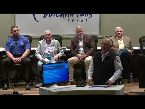
WICHITA FALLS — City officials on Tuesday presented a multi‑phase wildfire mitigation plan, detailed risk maps showing the city surrounded by high wildfire threat and a planned 70‑acre mitigation project on the north side near Tinker Trail.
The presentation, introduced as a wildfire mitigation town hall, featured video and maps from the Wichita Falls Fire Department that officials said show a continuous Wildland‑Urban Interface threat around the city. Chief speakers emphasized resident responsibilities for defensible space and explained a three‑phase approach: education, integrated planning with partners and long‑term maintenance.
"You got the 3 zones, zone 1 being, up to 5 foot from the house, zone 2 being, 5 to 50 feet from the house, and then zone 3 being up to a 100 feet…
Already have an account? Log in
Subscribe to keep reading
Unlock the rest of this article — and every article on Citizen Portal.
- Unlimited articles
- AI-powered breakdowns of topics, speakers, decisions, and budgets
- Instant alerts when your location has a new meeting
- Follow topics and more locations
- 1,000 AI Insights / month, plus AI Chat