Get Full Government Meeting Transcripts, Videos, & Alerts Forever!
Get email alerts on the Wildfire Mitigation topic
No spam. Unsubscribe anytime.
Wichita Falls outlines multi-phase wildfire mitigation plan; residents press for private‑land action
Summary
City officials presented maps showing year‑round high wildfire risk and described a three‑phase mitigation plan, including a planned 70‑acre project near Tinker Trail and grant-backed work on private land; residents raised concerns about access, enforcement and homeowners’ outreach.
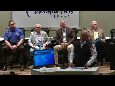
WICHITA FALLS — City officials on Tuesday presented a multi‑phase wildfire mitigation plan, detailed risk maps showing the city surrounded by high wildfire threat and a planned 70‑acre mitigation project on the north side near Tinker Trail.
The presentation, introduced as a wildfire mitigation town hall, featured video and maps from the Wichita Falls Fire Department that officials said show a continuous Wildland‑Urban Interface threat around the city. Chief speakers emphasized resident responsibilities for defensible space and explained a three‑phase approach: education, integrated planning with partners and long‑term maintenance.
"You got the 3 zones, zone 1 being, up to 5 foot from the house, zone 2 being, 5 to 50 feet from the house, and then zone 3 being up to a 100 feet from the house," the fire department speaker said, describing the property setbacks officials recommend to reduce structure ignitions.
District 5 City Councilor Tom Taylor, who organized the town hall, urged households to prepare evacuation plans and work with neighbors: "I strongly encourage you to take steps now to mitigate the risk of wildfires on and around your property. Make sure you're prepared and have a plan, a plan for a quick evacuation for you and your family."
Officials said the department has identified a north‑side project mapped "to the acre" and involving about 70 acres from an apartment area near Missile Road to the end of Tinker Trail. Presenters said the project will prioritize utility corridors for access and will seek to use grant programs, including state Forest Service assistance and the Ready‑Set‑Go grant processes, to underwrite work and chipping programs.
Wichita County Commissioner Micky Fincannon, attending in the audience, urged the city to keep pushing for grant dollars and to coordinate with utilities and precinct resources, noting limitations when work would be on private land outside city limits. Officials repeatedly said mitigation on private parcels will require property‑owner consent and partnerships with utilities, volunteer departments and county precincts.
Multiple residents asked how to report hazardous areas and property concerns; staff directed people to call the city fire department or to use the city’s online "Report a Concern"/Access City Hall tool. When asked whether planned mitigation would extend to Hunters Glen east of Tinker Trail, presenters said the original mapped plan ran from I‑44 behind apartment complexes toward 240 and that staff would follow up with contacts and explore access routes.
Residents also raised enforcement and maintenance worries, citing prior projects (for example, Hawk Ridge Golf Course) that officials said require follow‑up to remain effective. The presenters said maintenance and partnership building would be Phase 3 of the program, and that they intend to document accomplishments to demonstrate protections for citizens.
The town hall closed with an extended public Q&A; officials said the city expects to hold additional town halls and follow‑up sessions ahead of any formal policy action. The meeting was adjourned at the close of the special session.