Get Full Government Meeting Transcripts, Videos, & Alerts Forever!
Get email alerts on the Zoning topic
No spam. Unsubscribe anytime.
Montgomery council rezones 15.46-acre tract at Lone Star Parkway, amid boundary questions
Summary
The Montgomery City Council on Oct. 21 rezoned a 15.46-acre tract at Lone Star Parkway and Liberty Street from industrial to a mix of commercial and R-2 multifamily, after staff described buffer and platting requirements and Planning & Zoning raised a reported property-boundary dispute.
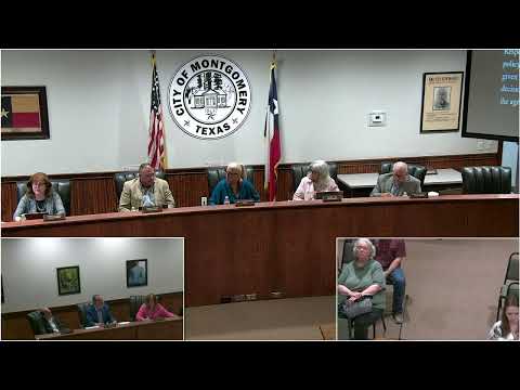
The Montgomery City Council adopted an ordinance on Oct. 21 to reclassify a 15.46-acre tract at the northwest corner of Lone Star Parkway and Liberty Street from industrial to a combination of commercial and R-2 multifamily residential zoning.
City staff and the project's representatives told council the rezoning would establish development parameters including setbacks and a required 25-foot buffer between commercial and single-family uses, and that the plat—showing the detention pond and drainage reserves—will be reviewed separately when submitted.
Erica Walker, who said she serves on the Planning and Zoning Commission, told the council the commission held a public hearing and that citizens in the area “overwhelmingly” opposed industrial zoning and preferred the mixed commercial and residential designation. Walker also flagged a reported ownership dispute raised at the P&Z meeting and asked that it be clarified before final platting.
City staff said the city mailed notices to owners within 200 feet and that the public hearing requirement had been met. Council members asked staff to ensure any private boundary or title questions are resolved through the property owner process before final plat approval.
Council member Stan moved to approve the rezoning ordinance as presented; the motion was seconded and passed by voice vote. The ordinance amends the city's official zoning map and will take effect upon passage and publication.
Next steps: the developer must submit the plat for administrative review against the new zoning parameters; staff said drainage, setbacks and any easements or deed issues will be addressed during plat review.