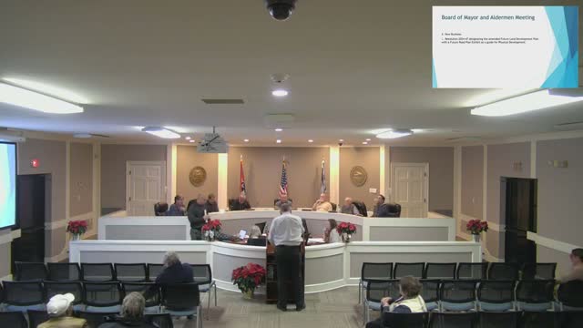
Council adopts Resolution 2024‑47 adding a future road exhibit to Arlington’s land plan
Summary
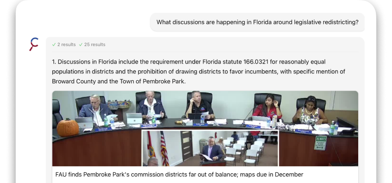
The Arlington Town Council adopted Resolution 2024‑47 to add a future-road exhibit to the town’s future land development plan, clarifying likely north–south and east–west connections; staff and members discussed easements, drainage and controversial former connections that were removed from the map.
The Arlington Town Council voted to adopt Resolution 2024‑47, which adds a future-road exhibit to the town’s future land development plan as a guide for anticipated physical development and road connections.
Mister Hill (Speaker 10), who presented the item, said the exhibit is intended to provide more detail about needed future roads—particularly north–south and east–west connections in south Arlington where Cypress Creek’s floodway can make parcels landlocked. Hill said staff removed a couple of controversial connections that had appeared in earlier drafts so the exhibit would better reflect practicable options rather than set permanent alignments.
The presentation discussed a proposed Arlington Trail extension intended to connect through to Larry Anderson Road and emphasized that the exhibit is not meant to set the final alignment in stone; roads could shift "200 feet this way or 1,000 feet that way" as development and site plans require, Hill said. He also noted Donaldson Farms Parkway is not shown extending to the Fayette County line because there is no corresponding connection in the adjacent county.
Council members raised practical concerns during discussion. Several asked staff to verify mapped changes (one member said the September-to-November map differences were hard to locate), and others flagged Mott Street easements that encroach into private yards and narrow pavement widths (speakers estimated 15–18 feet in places). Drainage, right-of-way width and the feasibility of widening constrained streets were noted as issues staff should investigate before any future roadway projects.
A motion to recognize the planning commission’s action and adopt the resolution was made and seconded; the resolution passed on a voice vote. The record shows the council expects to use the exhibit as a flexible planning guide and to refine details as specific development and site plans come forward.
What happens next: the exhibit will be part of the future land development plan as a guidance tool; staff will work through detailed alignments, easements and drainage considerations during future site-plan and PD reviews.