Get Full Government Meeting Transcripts, Videos, & Alerts Forever!
Hubbardston planning board debates boundaries, access and permit paths for Sandpit Overlay
Summary
Planning Board members debated why some parcels were included or excluded from a proposed Sandpit Overlay, discussed access points (Gardner Road, Pitcherville Road), special‑permit versus by‑right approaches, aquifer protections, and next steps tied to consultant work and potential planning grants.
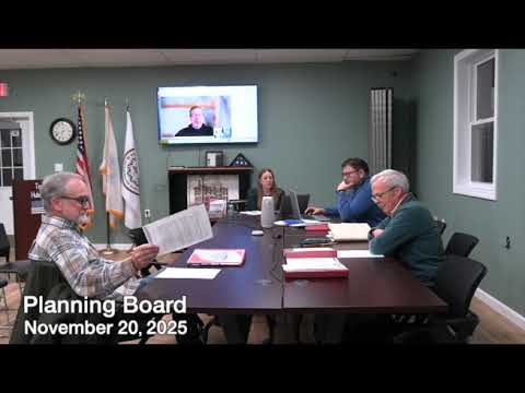
Hubbardston’s Planning Board spent the bulk of its meeting continuing the Sandpit Overlay working session, questioning how the study area was defined and what permitting path would best protect open space while allowing clustered, affordable housing and limited commercial uses.
A consultant‑prepared map shown to the board proposes a neighborhood mixed‑use district with light commercial uses, residential cluster development and significant conservation areas. Speaker 4 suggested making the overlay continuous rather than 'cutouts' and proposed access be limited to Gardner Road; other members noted three existing potential access…
Already have an account? Log in
Subscribe to keep reading
Unlock the rest of this article — and every article on Citizen Portal.
- Unlimited articles
- AI-powered breakdowns of topics, speakers, decisions, and budgets
- Instant alerts when your location has a new meeting
- Follow topics and more locations
- 1,000 AI Insights / month, plus AI Chat