Get Full Government Meeting Transcripts, Videos, & Alerts Forever!
Updated FEMA maps, Silver Jackets workshops and watershed recharge studies flagged as priorities
Summary
Staff told the Flood Control District that FEMA's updated flood maps (based on LIDAR) will bring many residents into mapped flood zones and that the county is planning interagency workshops (Silver Jackets) and watershed recharge studies to evaluate options; outreach and preparedness materials will accompany the effort.
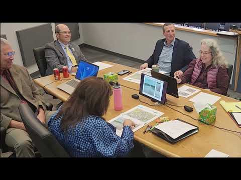
County flood‑control staff told the Flood Control District on Dec. 16 that FEMA's updated flood maps, based on newer LIDAR data, will place many previously unmapped parcels into mapped flood zones and could trigger mortgage‑related flood insurance requirements for affected homeowners.
"When these updated maps are adopted sometime in 2026... all these residents here are now in a FEMA flood zone," Jackie said, describing the updated mapping effort and its reliance on higher‑resolution LIDAR data. Jackie said current maps (some last revised in 2003) were less detailed and that…
Already have an account? Log in
Subscribe to keep reading
Unlock the rest of this article — and every article on Citizen Portal.
- Unlimited articles
- AI-powered breakdowns of topics, speakers, decisions, and budgets
- Instant alerts when your location has a new meeting
- Follow topics and more locations
- 1,000 AI Insights / month, plus AI Chat