Updated FEMA maps, Silver Jackets workshops and watershed recharge studies flagged as priorities
Get AI-powered insights, summaries, and transcripts
Subscribe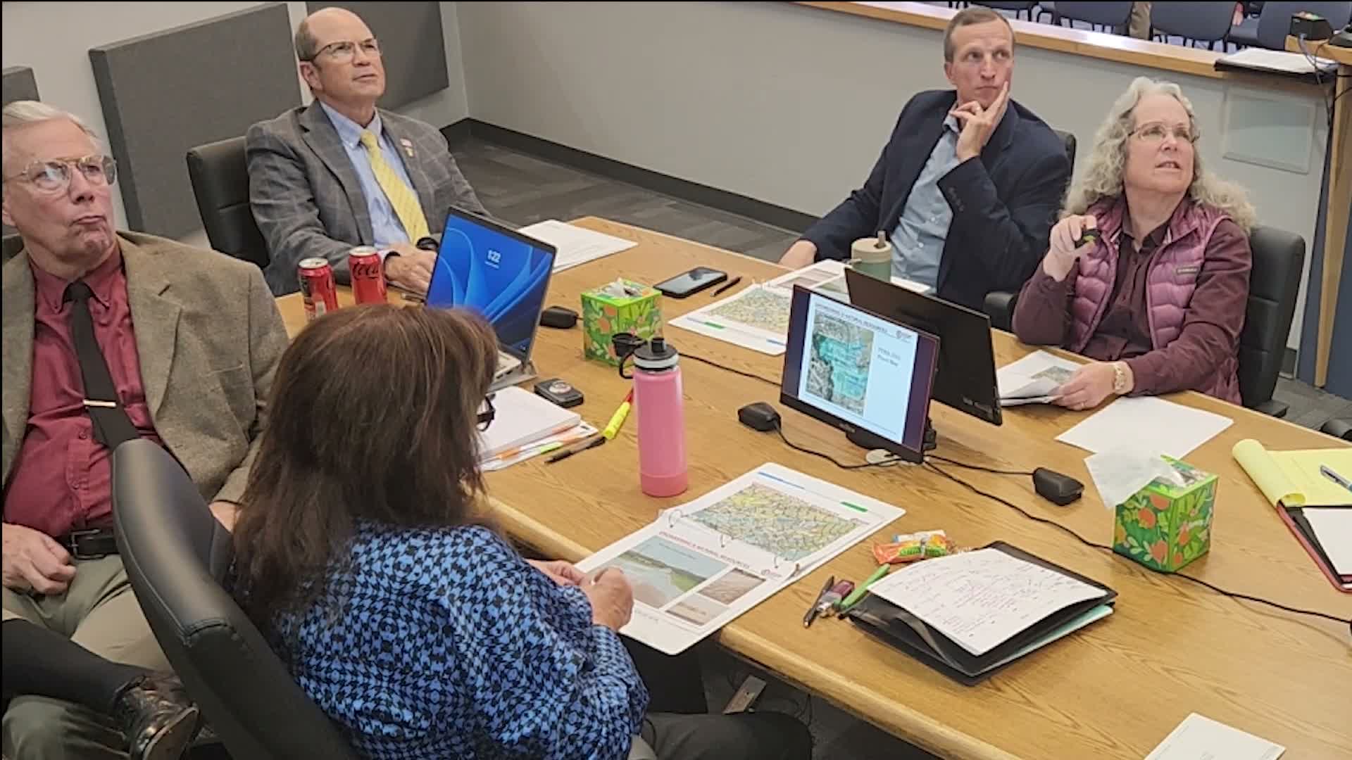
Summary
Staff told the Flood Control District that FEMA's updated flood maps (based on LIDAR) will bring many residents into mapped flood zones and that the county is planning interagency workshops (Silver Jackets) and watershed recharge studies to evaluate options; outreach and preparedness materials will accompany the effort.
County flood‑control staff told the Flood Control District on Dec. 16 that FEMA's updated flood maps, based on newer LIDAR data, will place many previously unmapped parcels into mapped flood zones and could trigger mortgage‑related flood insurance requirements for affected homeowners.
"When these updated maps are adopted sometime in 2026... all these residents here are now in a FEMA flood zone," Jackie said, describing the updated mapping effort and its reliance on higher‑resolution LIDAR data. Jackie said current maps (some last revised in 2003) were less detailed and that FEMA staff will brief the county when the maps are adopted.
Staff also outlined planned interagency and community engagement. Jackie said the Silver Jackets program — which she described as an Army Corps partnership — will run three workshops focusing on flooding and local preparedness, planned to reach southern Cochise County communities including Bisbee, Douglas, Wilcox, Benson and other towns. "What can residents do? What do you need to do to prepare for a flood?" Jackie said the workshops will address such questions and provide flyers and other materials to help remote residents who may face long 911 response times.
The county further described ongoing watershed and recharge work: a Pomerine Road Watershed Study is expected to finish next calendar year, a Douglas Basin study will start in January under an existing contract, and staff listed final design work for Bay Acres and Leslie Canyon Dam. Jackie said investigators will evaluate whether stormwater or clean effluent could be captured for recharge, noting the county has an existing grant relating to effluent and recharge and that multiple technical and jurisdictional questions remain.
Jackie made a broader water‑resource claim in the presentation, asserting in part that "all of Cochise County is a sole source aquifer" under the federal definition she referenced; the board did not dispute the statement in the session. Staff emphasized the technical complexity of recharge and the need for soil and groundwater modeling before any proposal would return to the board.
Staff said outreach and materials will be prepared and that Dan Duchon will coordinate workshop logistics locally; no formal action or vote was taken on the studies or outreach plan during the work session.