Get Full Government Meeting Transcripts, Videos, & Alerts Forever!
Get email alerts on the Agricultural And Forestal District topic
No spam. Unsubscribe anytime.
Planning commission recommends adding 20.934-acre parcel to Green Springs agricultural district
Summary
The Louisa County Planning Commission voted to recommend that the Board of Supervisors add a 20.934-acre parcel on Courthouse Road to the Green Springs Agricultural and Forestal District under the statecode's agricultural-significance criterion after staff said it meets statutory tests despite being about 2.4 miles from the district core.
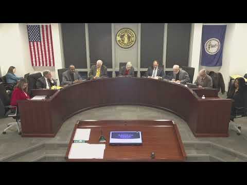
The Louisa County Planning Commission on Tuesday recommended that the Board of Supervisors approve adding a 20.934-acre parcel along State Route 208 (Courthouse Road) to the Green Springs Agricultural and Forestal District.
Staff told the commission the parcel qualifies under the Virginia code's agricultural-significance criterion because its soil types match much of the Green Springs area and the property is actively used for horse production. The parcel is roughly 2.4 miles from the Green Springs historic core; staff said the distance-based criterion remains available but the Commonwealth added a separate agricultural-significance pathway in 2022.
"So distance was, not removed," staff said, describing the three statutory paths: core, one-mile buffer or agricultural significance. Counsel reviewed the application and "deemed that it's agriculturally significant to meet the code," staff added.
Several commissioners said they were uneasy about allowing parcels several miles from a district core to join under a soil-based test. One commissioner said the soil maps appear to show similar soils across much of the county and asked whether that could make the standard too broad. Staff responded that the county's map and the Sewell association soils overlay were the basis for the determination and emphasized that the parcel would not create a new 200-acre core or affect neighboring parcels' status.
The commission had no public speakers on the item. After discussion, a motion to recommend approval to the Board of Supervisors was moved, seconded and approved by roll call.
The recommendation will go to the Board of Supervisors for final action.