Get Full Government Meeting Transcripts, Videos, & Alerts Forever!
Get email alerts on the Sunset Ridge Development topic
No spam. Unsubscribe anytime.
Planning commission backs Sunset Ridge development agreement to secure 6.2-acre debris basin
Summary
The Santaquin Planning Commission unanimously recommended the Sunset Ridge development agreement to the city council on Dec. 9, 2025, approving rezones and the fulfillment of a hillside overlay open-space requirement that would allow the city to obtain land for a roughly 6.2-acre debris basin to protect existing and future homes.
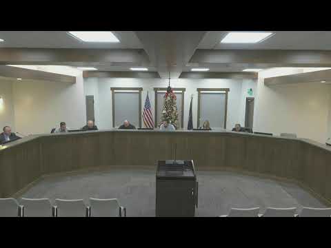
The Santaquin City Planning Commission voted unanimously Dec. 9 to forward a positive recommendation to the city council for the Sunset Ridge development agreement, a plan that rezones parts of the parcel and obligates the developer to fulfill the hillside overlay open-space requirement while enabling the city to acquire land for flood protection.
City staff described the proposal as a mix of predominantly 10,000-plus-square-foot single-family lots, a few smaller lots and townhome buildings, and two commercial parcels near existing commercial uses. The agreement would also allow the city to obtain roughly 6.2 acres for a debris basin, a conveyance channel and trailheads. "I've been working for 8 plus years now on working with NRCS and the USDA and the state to and the county to try and get some of these debris basins built," staff said in explaining the basin's design and funding background.
The basin is being designed to federal standards, staff said, based on hydrology, hydraulic and debris-flow studies, and will include a clean-out mechanism to allow heavy equipment to remove collected debris after major storm or burn-related events. Norm, the city manager, told the commission the basin is designed to capture large storm events and debris flows and that the city has some funding in place for construction but cannot use those grant dollars for property acquisition — a principal reason the development agreement route is being pursued.
Residents who live below the proposed subdivision raised concerns during the public hearing about soil retention, runoff and public-safety risks around the proposed retention basin. "I would estimate I'm between 12 and 15 feet below the ground where this subdivision is being proposed," Kim Leffler said, urging the commission to address runoff and the risk to lower properties.
Other public commenters worried about long-standing maintenance problems at a nearby city-owned pump house, the potential for commercial uses adjacent to homes, the size and fencing of the basin, mountain access and traffic control. Staff said grading plans for each lot will be required under the hillside overlay rules and pointed to the city code's lot-level requirements for retaining walls or other on-site drainage. On commercial uses, staff noted the C1 (interchange commercial) code enumerates permitted uses and that limited lot size, access and location will constrain what can be built.
Commissioners debated public concerns and the staff explanations before Commissioner Drew Hoffman moved to recommend approval of the rezones and the fulfillment of the hillside overlay open-space improvement requirement. The motion was seconded by Commissioner Nixon and passed unanimously. The commission's recommendation will go to the City Council for final action; if the council approves the development agreement, the project will proceed later to subdivision and grading reviews that will contain more detailed engineering and site-specific mitigation requirements.
Next steps: if the council accepts the recommendation, developers would proceed to mass-grading permits and subdivision approvals that include specific grading plans, traffic control device reviews, and architectural review of townhome or multifamily components.