Get Full Government Meeting Transcripts, Videos, & Alerts Forever!
Get email alerts on the Master Plan Community Annexation topic
No spam. Unsubscribe anytime.
Nampa planning commission recommends denial of 276-acre 'Orchard Acres' annexation over infrastructure concerns
Summary
After hours of public comment focused on traffic congestion, emergency response times and water/infrastructure capacity, the Planning & Zoning Commission voted to recommend denial of a developer’s proposal to annex and zone about 276 acres for the Orchard Acres master-planned community.
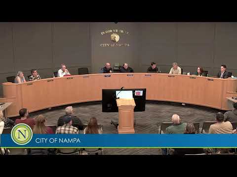
The City of Nampa Planning and Zoning Commission on Dec. 9 recommended denial of a proposed annexation and zoning for a 276-acre master-planned community dubbed "Orchard Acres," citing that critical infrastructure—most notably traffic circulation around the Happy Valley/Greenhurst roundabout and emergency-response access affected by nearby railroad crossings—is not yet in place to support the development as proposed.
Bonnie Layton of NV5, representing the developer, described a long-term plan for Orchard Acres that would include a mix of commercial space, multiple housing types (apartments, townhomes and single-family), pathways, parks and amenities. Layton said the project would be built in four neighborhoods over decades and that the plan aligns with the city’s comprehensive plan.
Rodney Ashby, Planning and Zoning Director, summarized staff analysis and agency comments: the project totals roughly 276 acres with zoning allocations the applicant requested (including BC, RMH, RML and several RS categories), approximately 15% qualified open space (~40–41 acres) and a suite of standard conditions to be applied at platting. He read comments from Nampa Fire District (which noted response-time estimates in the area), the building department, parks (which asked for a permanent multi-use-path easement along a canal) and engineering (utility and frontage requirements).
More than a dozen residents testified during an extended public comment period. Multiple speakers described regular backups at Happy Valley and Greenhurst, problems when trains block the nearby railroad crossing, and longer emergency response times than the district’s target. Concerns raised repeatedly included water and irrigation stress, potentially inadequate police coverage, school capacity, and a sense that the project’s high-density components are incompatible with the existing low-density neighborhoods. One resident noted the city’s recent wastewater upgrade and argued that reactive, post-hoc infrastructure investments illustrate the need for more upfront planning.
Staff and engineering representatives said a traffic impact study (TIS) had been submitted and was under review; engineering explained that the TIS would identify intersection improvement triggers tied to unit thresholds and that many roadway and frontage improvements typically occur phased with plats. Staff also explained that some infrastructure improvements require funding beyond developer impact fees (such as major overpasses), and that design and grant assumptions currently underlie projects like the proposed Robinson overpass.
Commissioners debated whether to delay a recommendation to await final TIS review or to use master-plan conditions or development agreements to secure additional mitigation at platting. Legal counsel reminded the commission that annexation and zoning are legislative decisions with some discretion, but not arbitrary, and that many technical reviews occur later at the plat stage. After deliberation, the commission voted on a motion to recommend denial, citing the proximity of the railroad crossing to the Happy Valley/Greenhurst roundabout and insufficient current emergency service and traffic capacity to support the proposed zoning and density.
The commission’s recommendation will be forwarded to City Council for a final decision. Staff noted that if the council or commission wants to require additional guarantees, mechanisms such as a development agreement or plat-stage conditions could be used to specify frontage, sewer/water infrastructure, and triggers for road improvements.