Get Full Government Meeting Transcripts, Videos, & Alerts Forever!
Get email alerts on the Funding And Assessments topic
No spam. Unsubscribe anytime.
Costs and special assessments dominate debate over 'improved' vs 'unimproved' roads at Birmingham multimodal meeting
Summary
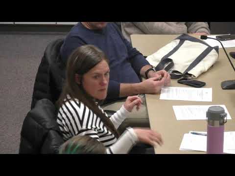
Commissioners, board members and residents spent much of the Dec. 11 workshop arguing about whether the Multimodal Board should evaluate cost and special-assessment implications for street projects. Commissioners said funding and improved/unimproved designations are commission policy; board members and residents asked for clearer public information and a decision matrix.
A major thread of the Dec. 11 joint workshop focused on funding: who pays for upgrades to streets, whether the multimodal board should consider cost implications, and how to make trade-offs transparent to residents.
Board members repeatedly said they need at least orders-of-magnitude cost information to judge value and recommend multimodal features. One board member described a prior project framework that included multiple value dimensions and said that approach helped the board evaluate designs without engaging in procurement or exact bidding details.
Several commissioners countered that decisions about whether a street is "improved" (which can trigger special assessments for homeowners) are policy choices for the elected commission, not an advisory board. A commissioner told the meeting that "the decision as to, is it gonna be an improved and unimproved? That shouldn't be in the multimodal" and urged staff to clarify remit and public messaging to reduce resident frustration.
Speakers proposed a middle path: develop a public-facing decision matrix that shows options (A/B/C), orders-of-magnitude cost bands, and consequences for sidewalks, parking and speed-mitigation options. Commissioners and board members agreed that matrix-level estimates (not final dollar bids) could be used to guide early-stage community input and reduce conflict later.
Participants also discussed data needs. The city currently runs seasonal traffic and bike/pedestrian counts; several speakers suggested modern GPS-derived datasets (TomTom) and routine monitoring to inform pilot projects such as temporary speed mitigation trials.
No formal funding decisions were made. Staff was tasked to deliver a draft matrix and clearer public materials, and commissioners discussed convening a streets workshop to set policy on improved/unimproved classifications and special-assessment approaches.