Get Full Government Meeting Transcripts, Videos, & Alerts Forever!
Get email alerts on the Downtown Mapping topic
No spam. Unsubscribe anytime.
Panel weighs consolidating downtown business zones, debates parcel-by-parcel map changes
Summary
Consultants proposed combining multiple business zones into a simpler business/retail framework and showed parcel-level map options for downtown (library parcel, church parking, Gulf station). Commissioners debated split vs. contiguous zone lines and potential impacts on existing uses.
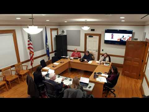
At its Dec. 15 subcommittee meeting, BFJ Planning presented new map options that would consolidate several existing downtown business subzones into a single business zone surrounding a preserved Elm/Main retail core.
Consultants said the area-and-bulk analyses revealed only small technical differences among the existing business subzones, so consolidating would simplify the code and make the rules easier for property owners to understand. Commissioners generally supported preserving Elm Street and Main Street character while allowing more flexible uses in adjacent, yellow-shaded business areas.
Several parcel-specific items drew extended discussion: whether the St. Aloysius church parking corner should remain in the downtown zone (commissioners suggested cleaning that anomaly), whether the Gulf gas station and adjacent library parcel should be in the same zone for continuity, and whether municipal parking lots that currently serve autobody businesses should be rezoned. The group leaned against splitting parcels along odd lot lines and favored contiguous frontage for commercial continuity on Main Street.
Commissioners asked BFJ to correct parcel boundaries on the working map and return with a revised shapefile for the full Planning & Zoning meeting. The subcommittee also discussed how changes could affect preexisting nonconforming uses (e.g., garages, municipal parking) and asked staff to check ownership and parcel-merge histories where needed.
Why it matters: Map changes can alter what uses are allowed by right, which sites require special permitting, and how redevelopment scenarios are evaluated. Parcel-level decisions — whether to include an entire parcel in a zone or split it — affect property owners, parking and long-term redevelopment options.
What’s next: BFJ will revise zoning maps to reflect parcel continuity and the subcommittee will present a preview at the full P&Z meeting before the May hearing.