Get Full Government Meeting Transcripts, Videos, & Alerts Forever!
Get email alerts on the Groundwater Playa Research topic
No spam. Unsubscribe anytime.
University-led groundwater and playa study finds freshwater lenses under Farmington Bay and focused upwelling features
Summary
Presenters described a piezometer network and geophysical surveys showing freshwater lenses beneath Farmington Bay, seasonal hydraulic-gradient reversals, strong upward groundwater fluxes along playa margins, and circular 'brown-spot' features where fresh water appears to upwell through the salt layer; tracer data show deep groundwater ages often >85 years and mountain-block recharge signatures.
Researchers from the University of Utah and partners presented preliminary results from two linked projects — an Uplands project and a Playa project — to characterize groundwater age, flux and the freshwater–saltwater interface near Farmington Bay.
Bill Johnson (project lead) said the team installed nests of piezometers (depths from about 5 to 108 ft) and pressure transducers to log hourly water levels. He reported an unexpected finding: despite a salty shallow lens, deep piezometers across Farmington Bay show freshwater at depth. "We have freshwater under the entirety of Farmington Bay," Johnson said, and the team plans to use those data to estimate fluxes.
Evan (hydrogeologist) outlined hydraulic-head plots from transects AIC1–AIC4 showing seasonal lateral-flow reversals: westward flow during dry periods and eastward flow when Farmington Bay fills from runoff. Evan reported strong vertical gradients, generally much larger than lateral gradients, and low hydraulic conductivity in west-side marine-clay sediments; his interpretation is that vertical (upward) groundwater fluxes dominate near the playa margins and can supply water to the surface or evapotranspire.
Sam Carter presented environmental-tracer results dating groundwater: shallow waters are decades old while deeper waters are often older than the method's >85-year threshold and in some cases centuries to millennia. Noble-gas analyses indicate deep groundwater recharge originates in the mountain block. "When I say groundwater age, I'm referring to the time that water has been in the subsurface," Sam said, and used preliminary age gradients to approximate groundwater velocities.
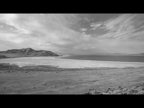
Field investigations and GeoProbe coring into circular 'brown-spot' playa features found freshwater in center wells (7–60 ft) and hypersaline conditions at their perimeters, matching geophysical resistivity lines that show fresh chimneys penetrating the salt layer. Presenters noted this pattern could relate to dust-hotspot locations where salt lenses are thicker and upward fresh flux is limited.
Researchers discussed next steps — permeability testing on cores, airborne geophysical pilot surveys to extend 2-D lines into broader coverage, and continued monitoring — and noted instrumentation and installations are permitted with the state engineer but long-term monitoring funding commitments remain to be clarified.
The presenters invited follow-up collaboration and indicated additional datasets (cores, tracer results) will be released as analyses finish.