Get Full Government Meeting Transcripts, Videos, & Alerts Forever!
Refuge mapping compares manual and machine-learning approaches to track phragmites
Summary
Researchers compared manual photo-interpretation maps and random-forest models across Bear River Refuge units and found models perform well for dense Phragmites but less reliably for treated stands and small fragments; high-resolution imagery and robust training data are critical for scaling.
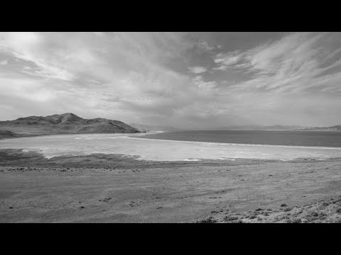
Forestry, Fire and State Lands staff and collaborators presented a mapping and modeling pilot for Phragmites on lower Bear River Refuge units (6–10) that compared manual photo-interpretation to automated random-forest models using multiple imagery sources.
Pete Goodwin described a multi-tiered approach using high-resolution WorldView imagery (collected 07/20/2023), Planet (≈3 m) and Sentinel (10 m). The team supplied training data from manual maps, converted to pixel-level samples, and used Google Earth Engine to develop and test…
Already have an account? Log in
Subscribe to keep reading
Unlock the rest of this article — and every article on Citizen Portal.
- Unlimited articles
- AI-powered breakdowns of topics, speakers, decisions, and budgets
- Instant alerts when your location has a new meeting
- Follow topics and more locations
- 1,000 AI Insights / month, plus AI Chat