Get Full Government Meeting Transcripts, Videos, & Alerts Forever!
Bathymetric LIDAR pilot shows high-resolution nearshore detail but limited penetration; UGS seeks $1.8 million for expanded mapping
Summary
A June 2023 bathymetric LIDAR pilot (50 sq. miles) produced sub-foot vertical resolution where returns were successful but only returned usable bottom data for about 28% of the targeted area; the Utah Geological Survey has $1.8 million from Forest Fire State Lands to expand mapping and is running a procurement to pick a vendor.
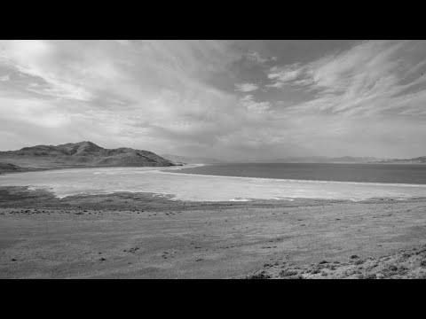
Mike Vandenberg, head of the Energy Minerals program at the Utah Geological Survey (UGS), presented results from a June 2023 bathymetric LIDAR pilot funded in part by the Great Salt Lake Advisory Council and UGS.
The pilot covered roughly 50 square miles on the west side of Bridger Bay and was contracted to NV5 Geospatial. Vandenberg said processing took several months and the pilot yielded high-resolution nearshore bathymetry where the green laser could reach the bottom, producing…
Already have an account? Log in
Subscribe to keep reading
Unlock the rest of this article — and every article on Citizen Portal.
- Unlimited articles
- AI-powered breakdowns of topics, speakers, decisions, and budgets
- Instant alerts when your location has a new meeting
- Follow topics and more locations
- 1,000 AI Insights / month, plus AI Chat