Get Full Government Meeting Transcripts, Videos, & Alerts Forever!
Get email alerts on the Land Use topic
No spam. Unsubscribe anytime.
Murrysville planners advise on proposed five‑lot Idaho Street subdivision; setbacks, slopes and drainage flagged
Summary
Senkner Engineering presented a conceptual plan for Scott and Simona Jones to subdivide an Idaho Street parcel into five lots for duplexes. Commissioners offered procedural guidance — including using an unopened alley for setback calculations, geotechnical study requirements for steep slopes and potential need for a variance — and requested more detailed plans before formal action.
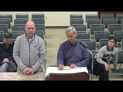
John Senkner of Senkner Engineering presented a conceptual subdivision on Dec. 9 to the Murrysville Planning Commission, saying the owners, Scott and Simona Jones, want to split the Idaho Street parcel into five lots, with four planned for duplex construction and each lot meeting the 15,000‑square‑foot minimum required by the township.
Commissioners focused on three practical issues the plan raises: whether the proposed property lines can extend to the centerline of a private right‑of‑way, how to handle steep slopes on parts of the site, and stormwater/drainage obligations. Senkner told the commission, “If you’ll notice, each lot is 15,000 square feet or or more,” and explained the applicants want the property line to reach the center of the private roadway to meet the lot‑size requirement.
Why it matters: using an unopened or abandoned right‑of‑way — often called a paper street — to calculate setbacks and lot area can change whether a proposal needs a variance. Commissioners noted local precedent for that practice but advised the applicants to secure a formal solicitor determination or, if necessary, pursue a variance through the Zoning Hearing Board. A staff member summarized the legal threshold for treating a paper street as abandoned: it can be used for area and setback calculations when it has been unused for more than 21 years, but it does not convey title or taxable ownership to the developer.
On slopes, planners told the applicant that areas with slopes between 25% and 40% are conditionally developable but require a geotechnical investigation — test pits or borings and a slope stability analysis — while slopes of 40% or greater effectively preclude building. The commission emphasized that an accurate slope map should be included with any land development submission.
Stormwater and utilities were also discussed. Senkner estimated the parcel at about 1.8 acres and acknowledged that disturbing more than one acre will trigger an NPDES erosion‑control permit and related stormwater management measures. He said sanitary sewer taps had been reserved and that water and gas line extensions would be required.
A resident raised a local drainage concern, saying a recently installed 10‑inch pipe on an adjacent property “is way undersized for what even comes down now,” a comment commissioners noted when discussing on‑site drainage capacity and potential pipe improvements as part of development review.
Next steps: commissioners recommended the applicants prepare a detailed land development plan showing how setbacks are measured (including any use of the unopened Locust Alley centerline), produce a slope map and geotechnical report if slopes fall in the conditional range, confirm sewer/planning module requirements, and consult the solicitor about whether a variance or a Zoning Hearing Board petition will be necessary. The commission made no formal land‑development decision at the meeting.