Get Full Government Meeting Transcripts, Videos, & Alerts Forever!
Get email alerts on the Instrumentation topic
No spam. Unsubscribe anytime.
Lakeside gauge battered by sediment; agencies propose channel and structure fixes to restore reliable flow measurements
Summary
Field staff reported repeated sediment deposition and instrument corrosion at the Lakeside (west breach) gauge that undermine index-velocity discharge estimates; proposed remedies include targeted channel work, raising local invert elevations, or jetty/rock placement and a procurement to scope engineering fixes.
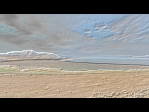
Hydrologists told the advisory council that sediment deposition at the Lakeside (west breach) gauge pool has repeatedly compromised the stage–area relationship that underpins the index-velocity method used to compute discharge.
"We have this deposition problem in the Lakeside Gage Pool," said Mike Freeman, Salt Lake City field office chief, describing corroded instruments and an unstable cross-sectional area that make discharge calculations noisy and often estimated. He said the velocity sensor was reinstalled in April but that sedimentation and morphology changes create frequent measurement uncertainty.
Freeman said the site has experienced episodic high-deposition events when runoff is funneled by the causeway and local topography; measured instantaneous events have exceeded 400 cubic feet per second at times, but long-term breach flows have also been tracked in the tens of thousands of cubic feet per second when lake elevation is high. Sediment deposition in the pool causes area changes that invalidate previously developed stage–area ratings.
Several mitigation options were discussed: extending the existing canal to provide a low outfall into the North Arm, raising the local elevation around the canal invert (Freeman cited raising from about 41.93 to 41.94–41.95), constructing low-cost rock jetties or channel guidance to persuade flow toward the north arm, or creating a narrower engineered channel to stabilize measurements. Committee members suggested using quarry reject rock and examining permitting and cost tradeoffs.
The council asked staff to incorporate lakeside measurement reliability into the salinity-management plan and to include engineering options in upcoming solicitations for procurement. No procurement award was made at the meeting; staff said they would share a draft solicitation and engage members for input.