Planning commission sends 'Uniquely Zionsville' comprehensive plan to council with boundary and policy edits
Loading...
Summary
The commission recommended that the Town Council adopt the 'Uniquely Zionsville' draft comprehensive plan with conditions: restrict Employment Flex west boundary to 200 East, require contiguous east‑to‑west expansion, and return a quadrant near State Road 32 and 650 East to agricultural designation on the future land use map.
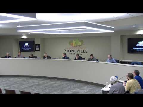
The Planning Commission voted to forward the draft 'Uniquely Zionsville' comprehensive plan to the Town Council with a favorable recommendation subject to several map and policy edits.
Consultant Adam Pieper of HWC reviewed edits made since the November 26 draft, including changes to the future land use map, adjustments to the future thoroughfare plan, and new language recognizing agribusiness and accessory structures in rural agricultural areas. Commissioners expressed particular concern about an Employment Flex designation that extended far west into Perry Township; they debated the potential for noncontiguous, or “leapfrog,” development and the lack of utilities and other infrastructure in the western reaches of the town.
After discussion, the commission asked three specific modifications before forwarding the plan: (1) limit the westernmost extent of the Employment Flex designation to 200 East; (2) add policy language that expansion of Employment Flex should be contiguous (east‑to‑west) and sensitive to adjacent neighborhoods and farms; and (3) change the mixed residential/NACent designation near State Road 32 at 650 East back to agricultural on the future land use map.
The motion to forward the plan with those edits passed by roll call. Commissioners and staff emphasized that the comprehensive plan remains a long‑range document and that individual map pages or policies can be revised in future updates; staff recommended periodic touchpoints and suggested modest follow‑up edits within 6–18 months.