Get Full Government Meeting Transcripts, Videos, & Alerts Forever!
Get email alerts on the Zoning Update Environmental Corridors topic
No spam. Unsubscribe anytime.
Plan Commission reviews zoning code updates; debates environmental corridor tree‑retention and annexation scope
Summary
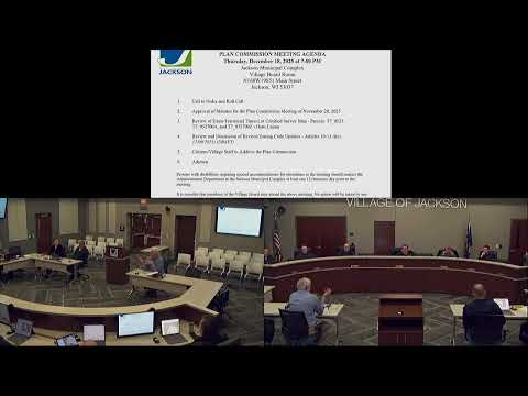
At its Dec. 18 meeting the Village of Jackson Plan Commission reviewed proposed zoning code articles 10–13 covering overlay districts. Commissioners discussed wellhead protection (existing), state‑required shoreland rules (1,000 ft lake / 300 ft stream; 50‑ft setback; 35‑ft vegetation zone), and draft environmental corridor tree‑retention standards keyed to an 8‑inch diameter threshold.
The Village of Jackson Plan Commission spent the majority of its Dec. 18 meeting reviewing proposed zoning code updates (articles 10–13), focusing on four overlay districts that would sit on top of the village's base residential, commercial and industrial zones.
Tim, the presenting staff member, told the commission that three items are either already in the code or required by state law: the existing wellhead protection overlay, and shoreland rules drafted to meet state statute. Tim summarized the shoreland definition and minimum standards, saying that shoreland generally covers land within 1,000 feet of a lake or 300 feet of a stream, with a 50‑foot setback from the ordinary high water mark and a 35‑foot vegetation protection zone measured landward from that mark.
Article 13 would introduce environmental corridor protections derived from mapping by the Southeastern Wisconsin Regional Planning Commission (SEWRPC). Tim described three mapped corridor categories—primary, secondary and isolated natural resource areas—used in the comprehensive plan and said the draft applies tree‑retention standards to help preserve those areas.
Under the draft, trees 8 inches in diameter or larger would be regulated and retention requirements would scale with parcel size: very small parcels (for example, quarter‑acre lots) would be allowed to remove more regulated trees to accommodate a building envelope, while larger parcels would be required to retain a higher percentage of regulated trees. Exceptions would allow removal of dead or dying trees, ash trees affected by emerald ash borer, trees with oak wilt, and invasive species such as buckthorn.
Commissioners raised enforcement and practical concerns. Tim said larger annexations and subdivisions would be evaluated by consultants (tree inventories and mapping) and processed administratively during the land‑division review; single‑lot building permits would typically be handled by the building inspector, not returned to the Plan Commission. If protected trees were removed in violation of the standards, the draft contemplates a planting schedule or off‑site planting/fee‑in‑lieu to mitigate loss.
The commission asked about the underlying map and future updates. Tim said SEWRPC prepares environmental‑corridor maps on a five‑year cycle for seven counties; if a county withdraws from that cycle the adopted village map would be static unless the county later opts back in or the village amends the map locally. Staff offered an interactive GIS map to let commissioners examine parcel layers, aerial imagery and corridor overlays before deciding on precise percentages and retention thresholds.
Commissioners generally indicated support for continuing to refine the draft and requested more detail and map access before making final recommendations. No formal motion on the zoning code articles was taken at the meeting; staff will return with additional information, including the interactive map, and next steps would follow the Plan Commission recommendation process to the Village Board.