Rutland Regional Planning Commission revises regional future land use map after LURB feedback
Get AI-powered insights, summaries, and transcripts
Subscribe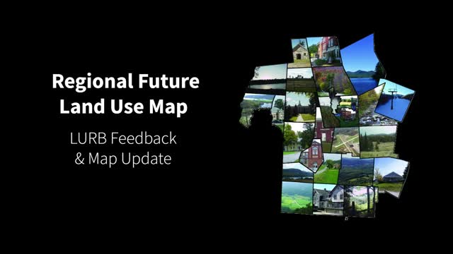
Summary
The Rutland Regional Planning Commission updated its regional future land use map to align boundaries to parcel lines, consolidate fragmented rural categories, and adjust village and planned growth area boundaries after written feedback from the Vermont Land Use Review Board (LURB).
The Rutland Regional Planning Commission released a video explaining revisions to its regional future land use map after written feedback from the Vermont Land Use Review Board (LURB). The presenter said the changes emphasize parcel-aligned boundaries, clearer rural categories, and recategorization of some village areas to better reflect state planning intent and designation requirements.
The presenter said the RRPC developed a pre-application map in coordination with all 27 municipalities in the region and submitted it to LURB for review. LURB’s regionwide guidance, the presenter said, called for simpler, smoother boundaries and removal of narrow or unusual slivers created by overlapping datasets. “Boundaries should be smooth and aligned with parcel lines where possible to make the map clear,” the presenter said.
LURB also asked that planned growth areas meet statutory infrastructure requirements. The presenter summarized this point by saying planned growth areas must be served by municipal sewer or water and that, where water or sewer is available along any part of a parcel, LURB recommended including the whole parcel in the planned growth area. The presenter added that village areas adjacent to planned growth areas should generally be subsumed into planned growth areas or recategorized if ineligible under the designation criteria.
The update applies consistent rules across the region: parcel-based snapping of boundaries except where geographic conditions (for example, mapped floodplains) require a split, treating floodplains consistently as rural conservation except where state law allows inclusion in higher-intensity categories, and consolidating rural categories so they do not appear as isolated pockets or slivers. The presenter described three rural categories in the revised map: rural general (land near main roads and villages suitable for future development), rural agriculture and forestry (contiguous agricultural and forest clusters identified by land-cover data), and rural conservation (parcels with environmental constraints such as forest blocks, wildlife corridors, steep slopes, and mapped flood zones).
The presenter said planned growth areas and transition/infill areas increased in land area because parcel snapping added depth beyond road-frontage mapping, while village areas and some rural categories decreased for the reasons cited above. The video concludes with a town-by-town review of LURB feedback and the specific map changes for each municipality.
The changes are presented as a response to LURB's written feedback; the video does not record a formal vote or ordinance in this transcript and does not provide legal citations beyond referencing state law and the LURB review process.