Get Full Government Meeting Transcripts, Videos, & Alerts Forever!
Get email alerts on the Land Use topic
No spam. Unsubscribe anytime.
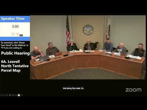
Lincoln planning commission recommends approval of Level North tentative parcel map after debate over trails and open space
Summary
On Dec. 17, 2025 the Lincoln Planning Commission voted 7-0 to recommend city council approve the Level North tentative parcel map, splitting a 103-acre parcel into four lots. Commissioners pressed for clearer trail connectivity and preservation of open space; staff said the map qualifies for a CEQA minor-land-division exemption.
The Lincoln Planning Commission on Dec. 17, 2025 voted 7-0 to recommend that the City Council approve the Level North tentative parcel map, a staff-supported proposal to split an existing 103-acre parcel into four separate parcels.
Tom Cruickshank, associate planner with the community development department, summarized the request on behalf of the applicant, Beazer Homes Holdings, saying the map “will take 1 legal existing parcel and create 4 separate parcels” and that the proposal satisfies the city’s parcel-size requirements and “proposes no development at this time.” Cruickshank told commissioners staff had prepared draft conditions of approval and a memorandum with minor edits to condition of approval number 7, and that staff recommends the commission find the project exempt from further CEQA review under Section 15315 (minor land divisions).
The decision matters because an approved tentative parcel map would allow portions of the land to be sold to developers, enabling future development applications and the later design work that would identify home sites, parks, trails and open space. Commissioners repeatedly pressed staff and the applicant about trail connectivity and whether dedicating trail corridors or otherwise protecting open space should occur now or during later entitlement steps.
Commissioner Jerry Johnson argued the commission should use the parcel map as leverage to secure trail connections and said he would not support approval lacking assurances about trails. “I’m not going to approve a map that does not include a trail system as required or at least encouraged in our general plan,” Johnson said during deliberations. Other commissioners voiced support for prioritizing interconnected trails and urged staff to press developers to incorporate trails when project-level plans are brought forward.
Tony Frasier of Frasier Design Group, representing the landowner and Beazer Homes at the hearing, said the parcel map is a preparatory land-division step and that specific project designs would come later. Frasier noted regulatory constraints around wetlands and habitat, saying, “I wish I can do that all the time but the City of Lincoln has adopted PCCP plan that you have to follow and we, our hands are always tied behind our backs,” to explain why trails are sometimes set back from creeks.
A resident speaker urged preserving natural features and tree cover and cautioned against dividing land in ways that would leave minimal open space. The chair and staff confirmed the city’s longstanding policy requiring 40% open space in projects applies to this area, and staff clarified that if parcels are developed in the future they would be served by the city’s public utility system (not septic or private wells), per city utility policy.
After discussion, a commissioner moved to determine no additional environmental analysis pursuant to CEQA was required and to recommend that the City Council adopt the Level North tentative parcel map dated Dec. 17, 2025, with project-specific and standard conditions of approval, including the revised language for condition-of-approval number 7 included in the meeting memorandum. The motion was seconded and passed on a roll-call vote: Commissioners Hutchinson, Vice Chair Johnson, Herzog, Jackson, Jerry Johnson, Manning and Chairman Gilbert all voted yes, producing a 7-0 approval.
The planning commission’s recommendation does not itself authorize construction; it forwards the tentative parcel map to the City Council for final action and allows the landowner to pursue project-specific development work that will be subject to subsequent reviews, conditions and any required permits. The commission adjourned after thanking staff and participants and indicated its next formal business would occur in 2026.