Get Full Government Meeting Transcripts, Videos, & Alerts Forever!
Knox County engineers say GIS speeds responses, helps volunteers and guides stream restoration
Summary
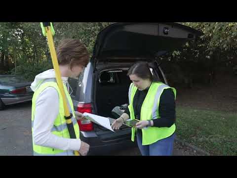
Knox County Engineering and Public Works staff demonstrated how KGIS helps route service requests to crews, supports volunteer programs like Adopt a Stream, and documents water-quality projects such as monitoring at Connor Creek and a restoration at Loves Creek.
Kevin Scarboro, an Administrative Assistant with Knox County Engineering and Public Works, told listeners the department relies on its GIS system to route service requests and speed repairs.
"Using GIS, I can quickly look up an address, determine which crew to route the request to, and provide faster service to the community," Scarboro said. He said the system lets staff switch between base maps to identify pipes, check whether a road is due to be paved and determine if a problem is on or off the right of way. Scarboro noted KGIS aerial photographs…
Already have an account? Log in
Subscribe to keep reading
Unlock the rest of this article — and every article on Citizen Portal.
- Unlimited articles
- AI-powered breakdowns of topics, speakers, decisions, and budgets
- Instant alerts when your location has a new meeting
- Follow topics and more locations
- 1,000 AI Insights / month, plus AI Chat