Get Full Government Meeting Transcripts, Videos, & Alerts Forever!
Get email alerts on the Land Use Subdivision topic
No spam. Unsubscribe anytime.
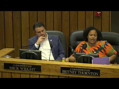
Shelby County approves Patterson Ridge substitute with traffic‑study condition after prolonged neighborhood opposition
Summary
After hours of testimony from residents and technical presentations, the Shelby County Commission approved a substitute resolution that allows the 97‑lot Patterson Ridge subdivision to proceed with conditions, including a traffic‑impact study and a requirement for at least two street connections with one to Billy Meier Road.
Shelby County commissioners voted 10–1 on Oct. 6 to approve a substitute resolution permitting a revised preliminary plan for the Patterson Ridge subdivision (case S2025‑030) to move forward under conditions negotiated between the developer and neighborhood opponents. The substitute includes a requirement that a traffic‑impact study determine final street connections and that at least two connections be provided, one of which must be to Billy Meier Road.
The matter opened with a staff presentation from Nabhanika Nairal of the Division of Planning and Development, who said the 22.11‑acre site is zoned R8 and that the revised plan proposes up to 95 lots with temporary and permanent detention ponds and walking trails. Brett Raxdale (DPD) told commissioners the original preliminary plan dated to 2004 had expired and the Land Use Control Board approved a version of the plan with conditions on Aug. 14, 2025. Raxdale said the applicant and opponents negotiated revisions and that the commission was being presented with a substitute resolution and an additional condition to manage street connections.
Residents who live along Rensselaer Drive and adjacent neighborhoods told the commission they worried the development would overload narrow, two‑lane roads and increase safety risks for school buses and driveways. "Rensselaer is a 2 lane road. About 50 to 60 driveways line it. Any more traffic on that street is a real hazard," said appellant Elizabeth Carroza, who appealed the Land Use Control Board approval and said earlier agreements called for eliminating streets that would feed directly into Brownsville Woods and Eagle Ridge subdivisions.
Applicant counsel Josh Whitehead and traffic engineer Harvey Matheny said the revised plan includes stormwater management and that traffic modeling projects roughly 1,000 daily trips from the new neighborhood — approximately 10 trips per household — and that county engineering found the roadway network had capacity for the planned increase. Whitehead noted a left‑turn lane would be added on Billy Meier. "Subdivisions now are not designed like they used to…we now accommodate the 100‑year flood," Whitehead said regarding drainage and stormwater design requirements.
Commissioners pressed staff on procedure after the applicant introduced a substitute that had not been reviewed in committee; the body moved to accept the substitute and then voted to add a tenth condition, requiring a minimum of two street connections with one to Billy Meier Road and specifying that the required connections be determined by a traffic‑impact study subject to review by the zoning administrator in consultation with the county engineer.
The substitute passed with 10 ayes and one no. The commission’s action allows the developer to proceed to the final plat stage under the adopted conditions; the final plat and subsequent civil plans remain subject to county engineering review and permit processes.
What’s next: The developer must complete the traffic‑impact study and the county engineer will review final plat submittals as part of the memorandum of conformance process before civil plans are approved.