Planning commission backs 2026 hazard mitigation plan update adding tsunami and permafrost‑thaw landslide risks
Loading...
Summary
The Matanuska-Susitna Borough Planning Commission on Dec. 15 recommended assembly adoption of the borough's 2026 Hazard Mitigation Plan update, adding tsunami and permafrost‑thaw landslide instability as recognized hazards and preserving grant eligibility for FEMA and HUD funding.
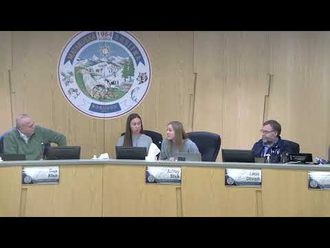
On Dec. 15, 2025, the Matanuska‑Susitna Borough Planning Commission voted to approve a resolution recommending that the borough assembly adopt the 2026 Hazard Mitigation Plan update, an abbreviated five‑year cycle update that adds tsunami and permafrost‑thaw landslide instability to the borough's recognized hazards.
Tawny Boothby, the borough floodplain administrator and current planner, presented the update and told the commission the abbreviated approach was necessary to preserve eligibility for mitigation funding from FEMA and the U.S. Department of Housing and Urban Development. Boothby said the borough has received "nearly $37,000,000 in mitigation grant funding" since 2004 and described this update as a way to maintain access to future grants.
The presentation gave specific examples of the new hazards. Boothby described results from the Alaska Earthquake Center's tsunami analysis and said that, "if you move to the 60 foot elevation level on our topo contour," coastal residents would be outside the modeled maximum tsunami inundation for many areas; the Menard Center is identified as a congregate‑sheltering location while the borough evaluates additional shelter sites and signage. On permafrost‑thaw and landslide instability, Boothby summarized scientific analysis and local observations in the Matanuska Narrows/Glacier View area and noted coordination with the Alaska Department of Transportation and local partners to monitor and respond to at‑risk slopes. Quoting a local description from the presentation, she said one resident characterized a potential catastrophic slope failure as "a 50 foot wide, 149 foot tall wall from Glacier View all the way to Anchorage, 100 miles long," a description the presentation attributed to residents and scientists assessing worst‑case scenarios.
Boothby also outlined next steps if the assembly approves the plan: the borough would forward the adopted plan to the state and FEMA for final review; a detailed earthquake and soils analysis is planned for 2026 as part of the follow‑up work tied to a forthcoming mitigation grant; and the borough is in the phase of being awarded grant funding to support those analyses and potential siren or signage installations.
Commissioner McCabe moved to approve the recommending resolution (Resolution 25‑23) and Commissioner Carpenter seconded. With no public testimony and no objections raised during the motion, the chair declared the resolution approved; the commission's action forwards the plan to the assembly and then to state and federal review.
The resolution is a recommending action by the planning commission; the assembly must adopt the plan for it to become the borough's official hazard mitigation plan and for FEMA/state approval. The commission presentation and resolution emphasize maintaining grant eligibility and initiating targeted technical work (earthquake/soils analysis, monitoring instrumentation, evacuation signage and possible siren evaluation) once funding is in hand.