Jasper County tables Hires sand‑mine development agreement after residents raise environmental, traffic and notice concerns
Get AI-powered insights, summaries, and transcripts
Sign Up Free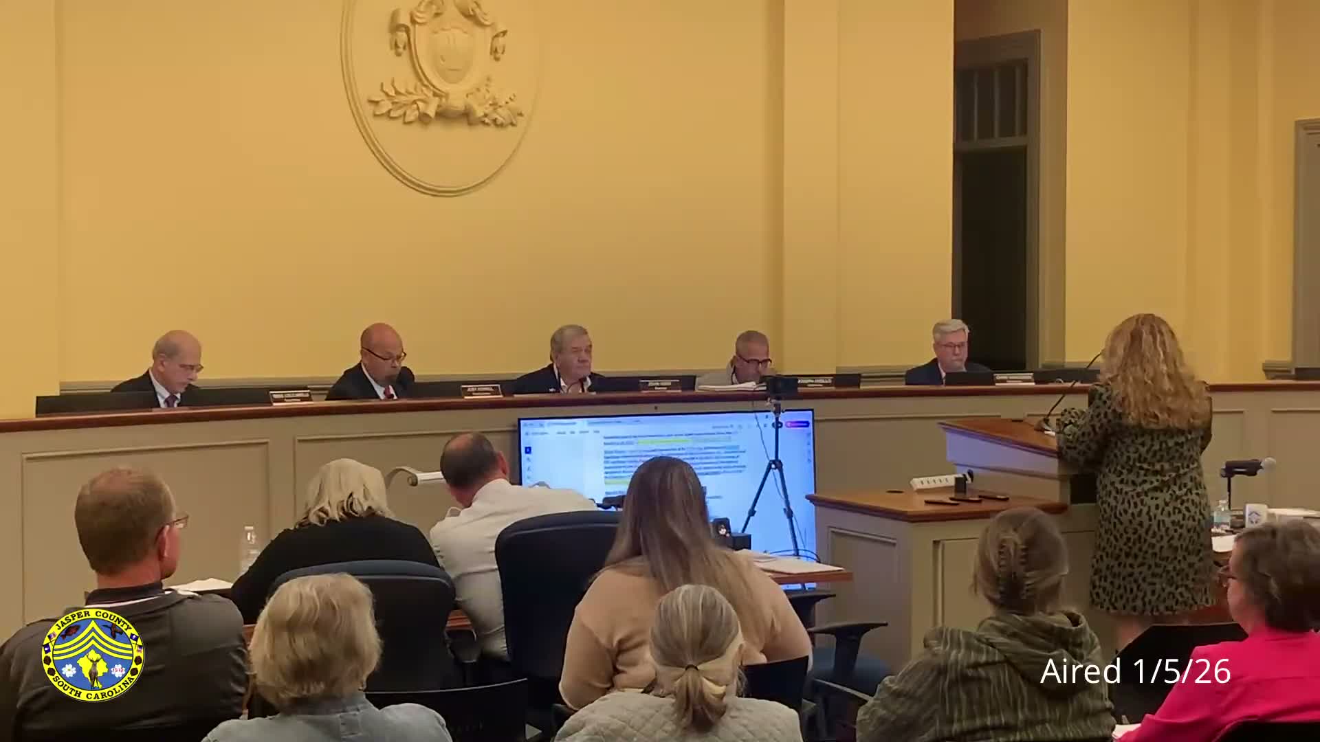
Summary
Residents told the Jasper County Council they oppose Hires Pine Level LLC's proposed 264.53‑acre sand mine, citing dust, water and road‑safety risks and a petition of 350+ signatures. Council tabled the development agreement and scheduled a site visit and requests for traffic, environmental and heritage reviews.
Jasper County Council on Jan. 6 voted to table a development agreement with Hires Pine Level LLC after an extended public hearing in which nearby residents described what they called the likely environmental, safety and quality‑of‑life impacts of a proposed sand mine.
At the meeting several residents who live adjacent to the proposed site urged the county to deny the permit or delay action until more analysis is completed. "This mine will be located close enough to my home ... my children and our animals will be breathing dust from excavation and truck traffic every day for as long as this operation continues," said Rena Tooten, who identified herself as living at 2067 Heritage Road and said her family land has been in the family for generations.
The council heard technical and process details from planning staff and the draft development agreement, which staff said includes standards addressing equipment height and setbacks, hours of operation, stormwater management, noise abatement, a reclamation plan and bond, and an escrow account for road maintenance. "The development agreement provides standards that will apply to the mining operation," the planner told the council, and staff said the applicant agreed to not operate on Saturdays and was discussing weekday operating hours (staff noted a change from earlier drafts and said the agreement would be adjusted to reflect a consensus).
Residents cited specific concerns during public comment. Nancy Paul Weckhorst, who said her property across Highway 3 is adjacent to the site, identified the parcel as "264.53 acres" (tax map 052‑00‑03‑012) and warned of "the massive dump truck traffic of 75 trucks a day for 7 to 10 years" and potential erosion and road‑safety problems. She also told council that a petition opposing the mine had more than 350 signatures and that she had not seen file copies of submitted opposition letters. Others raised questions about notice, whether the county had sent certified mail to affected neighbors, bridge and culvert capacity on local roads, and potential impacts to groundwater and endangered species.
Several council members pressed staff and the applicant on follow‑up items they said they needed before making a final decision: a traffic impact analysis, an environmental‑impact statement or report, confirmation from heritage/trust reviewers, and more complete documentation of the proposed end‑use and reclamation plan. A council member noted that elements of the development agreement impose road‑repair responsibilities and an escrow/road bond on the developer, but asked for clarity on amounts and enforcement.
After questions and public remarks, the council voted to table the development agreement and the related rezoning item to the next meeting, and directed staff to coordinate a field visit so council members could inspect the property and both ends of the proposed access. Lisa Wagner, the planner who presented the ordinance and development agreement materials, was directed to obtain the requested reports and to coordinate permission for the site visit with the applicant and neighbors.
The record shows the discussion is ongoing; the council did not adopt or reject the development agreement at the meeting and set follow‑up steps that will determine whether and how the project moves forward.