Get Full Government Meeting Transcripts, Videos, & Alerts Forever!
Get email alerts on the Riverview Great Streets topic
No spam. Unsubscribe anytime.
County to study Riverview Drive ahead of Wild Care Park opening, citing floodplain and bridge constraints
Summary
St. Louis County and Great Rivers Greenway will study Riverview Drive to plan access to a new Wild Care Park (St. Louis Zoo project). Staff cited floodplain constraints, an aging Watkins Creek bridge and the need to coordinate land-use and roadway design before anticipated high visitor numbers.
St. Louis County and Great Rivers Greenway are launching a Great Streets study for Riverview Drive to guide future roadway and trail improvements ahead of the Wild Care Park project the St. Louis Zoo is developing.
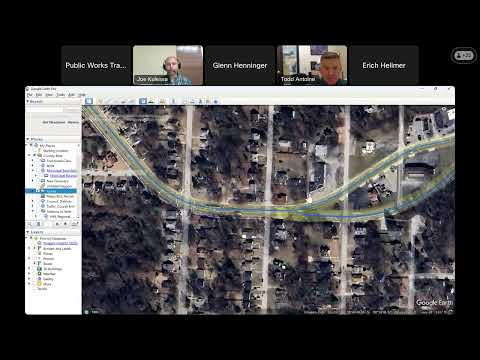
John (Shrewsbury), presenting the study scope, said the Wild Care Park is planned to open in 2027 and that the zoo anticipates "over 400,000 visitors a year." The study will examine roadway alignment, floodplain constraints (including a 100-year and 500-year floodplain overlay), culvert replacements and an aging Watkins Creek bridge that likely needs replacement before large-scale visitor access improvements can proceed.
John said consultants will integrate land-use planning and roadway design so the county does not rebuild to today's standards only to find a wider road is needed if development follows the zoo project. "What the Great Street study will do is it will combine that land use piece with the roadway piece and tell us exactly what what should go there now to not future proof, but it will be a lot better informed than just us engineers going in and rebuilding what's there," Glenn added.
Todd Antoine of Great Rivers Greenway urged caution around former floodplain areas near Lighthouse Point and noted prior Corps of Engineers and developer actions changed floodplain conditions; he said that history should inform decisions about roadway sizing and likely development patterns. The study will be managed by East West Gateway and will feed into the Spanish Lake small-area study and future grant applications. No formal approvals were taken at the meeting; staff said the study will inform future funding and design decisions.