Get Full Government Meeting Transcripts, Videos, & Alerts Forever!
Get email alerts on the Transportation Planning topic
No spam. Unsubscribe anytime.
Charlotte County launches quarterly transportation workshop to outline data-driven planning and project priorities
Summary
Public works staff briefed commissioners on roadway classifications, traffic-count methods, level-of-service measures and intersection priorities, and identified current and projected roadway segments at or near failure while urging measured planning tied to funding and developer impact fees.
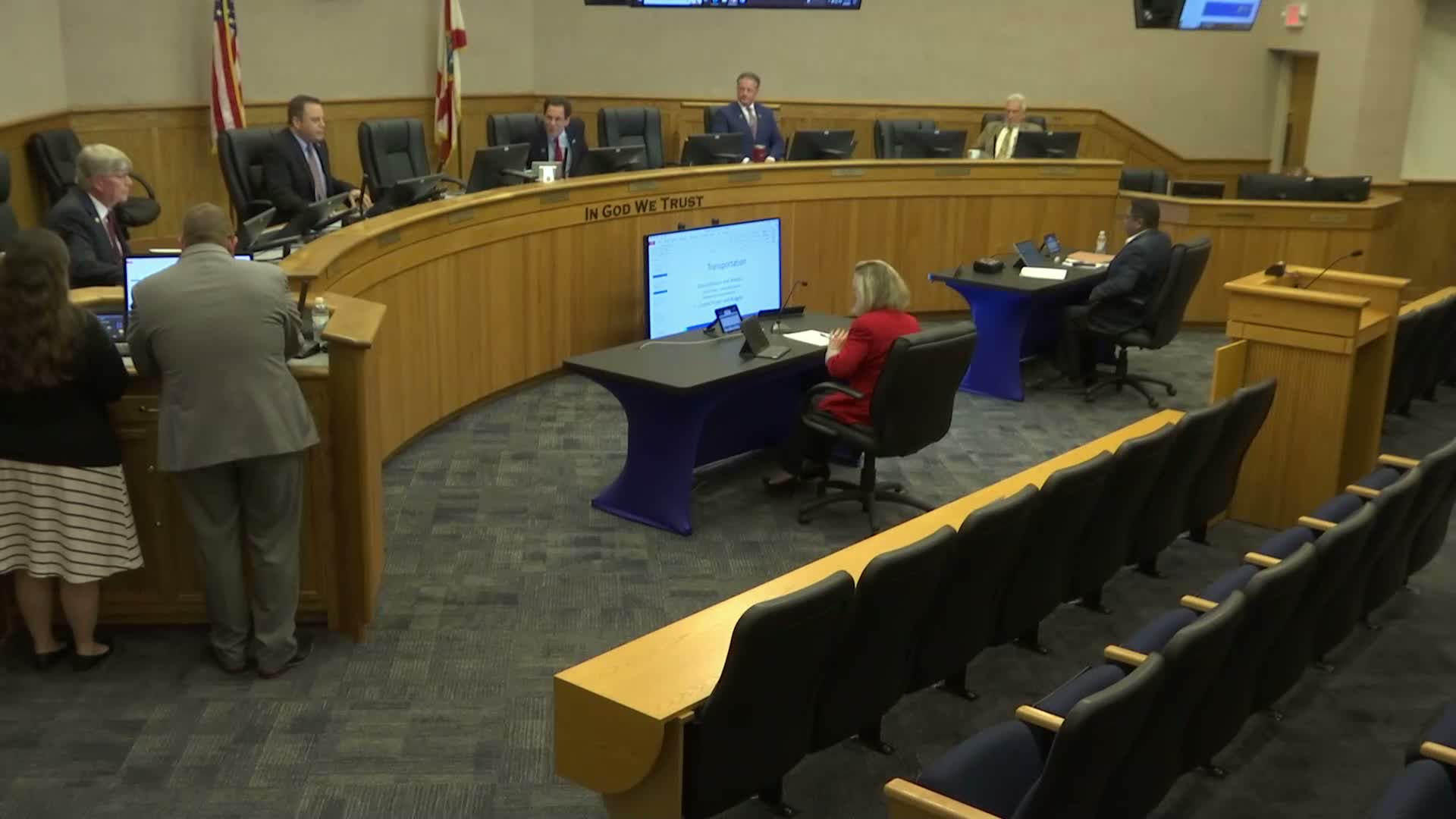
John Elias, public works director, opened Charlotte County’s new quarterly transportation workshop on transportation planning and said staff would present how the county collects and uses traffic data to prioritize projects.
The presentation outlined functional roadway classifications (principal and minor arterials, major and minor collectors, local roads), how the county conducts segment-level traffic counts, and how average annual daily trips and peak-hour calculations are used to determine roadway level of service (LOS). "We're kind of excited about this," Elias said, introducing the quarterly briefings and maps included in the backup materials.
County engineers explained Charlotte County uses FDOT methods and has adopted LOS D as its planning threshold. Staff said the county does segment-level monitoring because traffic varies along a roadway and noted the county currently has two segments below the adopted LOS and seven others projected to fail within the next 15 years. Staff named Kings Highway (between Sand Hill and the DeSoto County line) and Sand Hill (between Kings Highway and Deep Creek) as the two segments currently below the adopted standard. Burnt Store Road was highlighted as a corridor likely to require up‑to‑six lanes by mid-century without mitigation.
Commissioners pressed staff on the link between roadway classification and funding eligibility. Commissioner Doherty raised the possibility of reclassifying some roads from FDOT collector status to county-maintained local collector status so maintenance responsibilities and gas-tax funding impacts could be shifted. Staff said they provide data and recommendations to FDOT during classification reviews and have previously adjusted county inventories to improve funding alignment, but cautioned there is limited road‑and‑bridge funding available.
The board also discussed intersection improvements and technology. Staff described intersection studies—triggered by increased volumes, crash history or citizen complaints—and said they are testing analytic tools, including camera-based counts and AI-assisted planning software, to speed identification of problem intersections and alternatives. Elias urged caution about being an early adopter: new systems must be durable in hurricanes and interoperable with FDOT-controlled intersections.
Staff framed planning as balancing advance design with requiring developers to fund impacts through impact fees and agreements. Commissioners flagged local examples (Deep Creek, Dorchester, Cornelius) to illustrate where reclassification or targeted intersection geometry changes may be warranted.
The workshop concluded with staff noting future sessions will dig into details such as signal timing, corridor designs and the county’s capital improvement plan; the board set a follow-up finance committee meeting for March 26 to hear financing options for major projects.