Get Full Government Meeting Transcripts, Videos, & Alerts Forever!
City staff outline flood resilience plan updates: maps, priority corridors and engineering study to follow
Summary
City presenters summarized local resilience and adaptation work—maps from lidar and sea-level projections show roughly 0.7–1 foot of rise by 2050 and about 2 feet by 2080; downtown, US 41 and public-safety infrastructure were flagged as priority zones and engineering solutions are expected from a public-works study due in 2027.
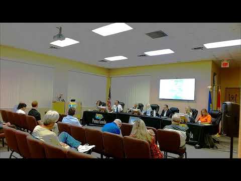
City staff presented a resilience and adaptation update at the Jan. 6 workshop that combined historical planning work, lidar-based mapping and sea-level projections to identify priority zones and next steps for Punta Gorda.
Presenter Daniella described the city's waterfront vulnerability to storm surge, sea-level rise and heavy rainfall, and framed resilience as a mix of adapting to events and choosing land-use policies that minimize future risk. She said the city’s…
Already have an account? Log in
Subscribe to keep reading
Unlock the rest of this article — and every article on Citizen Portal.
- Unlimited articles
- AI-powered breakdowns of topics, speakers, decisions, and budgets
- Instant alerts when your location has a new meeting
- Follow topics and more locations
- 1,000 AI Insights / month, plus AI Chat