Get Full Government Meeting Transcripts, Videos, & Alerts Forever!
Get email alerts on the Resilience Flooding topic
No spam. Unsubscribe anytime.
City staff outline flood resilience plan updates: maps, priority corridors and engineering study to follow
Summary
City presenters summarized local resilience and adaptation work—maps from lidar and sea-level projections show roughly 0.7–1 foot of rise by 2050 and about 2 feet by 2080; downtown, US 41 and public-safety infrastructure were flagged as priority zones and engineering solutions are expected from a public-works study due in 2027.
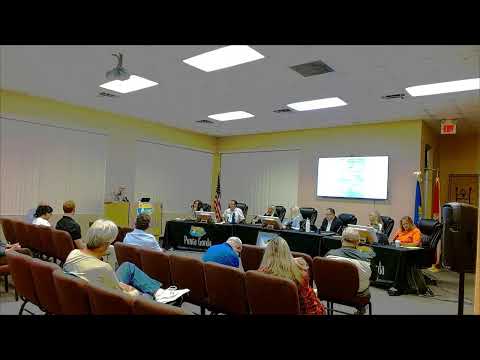
City staff presented a resilience and adaptation update at the Jan. 6 workshop that combined historical planning work, lidar-based mapping and sea-level projections to identify priority zones and next steps for Punta Gorda.
Presenter Daniella described the city's waterfront vulnerability to storm surge, sea-level rise and heavy rainfall, and framed resilience as a mix of adapting to events and choosing land-use policies that minimize future risk. She said the city’s waterfront character makes flooding and sea-level rise a daily concern and emphasized the need for planning to preserve those features while strengthening infrastructure.
Rick Lemko (grants coordinator) reviewed prior efforts (a 2009 climate adaptation plan after Hurricane Charlie, a 2019 update with lidar overlays and sea-level projections) and said recent work, including FDEP-supported vulnerability assessments, produced more detailed maps for planning horizons (2050 and 2080). He cited intermediate projections of about 0.7–1.0 foot of sea-level rise by 2050 and roughly 2 feet by 2080 under intermediate scenarios.
Staff identified three priority corridors—downtown, the US 41 commercial corridor, and public-safety infrastructure—and said engineering solutions and targeted policy changes will be needed. Lemko said an ongoing flood study led by public works and Taylor Engineering will provide recommended engineering projects to be released in 2027; those projects will guide future capital and policy decisions.
Council members discussed land-development regulation implications, confirming Punta Gorda is in a coastal high-hazard area and noting that requiring on-site retention or other measures is often constrained by land costs and parcel sizes in existing developed areas. Staff reiterated that mitigation should be pursued where feasible and that policy and engineering measures should proceed together.