Get Full Government Meeting Transcripts, Videos, & Alerts Forever!
Get email alerts on the Geographic Information Systems topic
No spam. Unsubscribe anytime.
Columbia County GIS manager details drone mapping, public portals and utility safeguards
Summary
Larry Hobbs, Columbia County GIS manager, told a county presentation the GIS team uses drones, Maps Online and QPublic to support addressing, emergency response, flood mapping, 3D modeling and 311/City Works workflows. He said imagery is geo-referenced with high precision and the department has 11 staff.
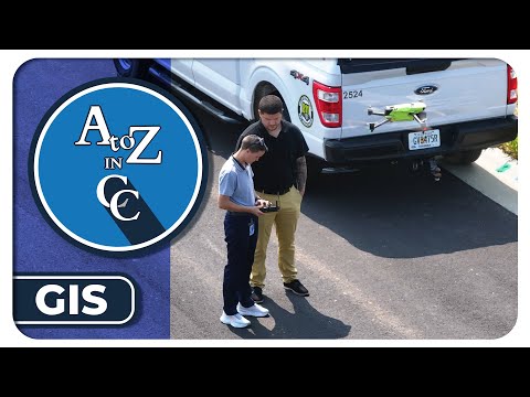
Larry Hobbs, Columbia County's GIS manager, told viewers in a county "A to Z and CC" presentation that the department uses drones, public mapping portals and 3D models to support planning, emergency response and asset management.
The presentation, hosted by Cassidy Harris, the county's public relations manager, explained that GIS is the county's system for locating and describing infrastructure and community assets. "In a layman's terms ... the easiest way to describe it is Google Maps on steroids," Hobbs said, adding that GIS "is not just about representing data, but it's actually about telling a story."
Hobbs outlined core public tools residents can use: Maps Online, intended for more engineering-level mapping and terrain analysis; and QPublic, a tabular search-oriented service for parcel and deed information. He said those portals let residents check property details and see whether parcels overlap with regulatory overlays such as flood zones.
On operations, Hobbs said GIS participates in the county plan-review process and issues addresses builders must receive before breaking ground, a step he described as critical for delivery and emergency services. "If the numbers are out of sync, they can't find your house quickly," he said, noting the department works to prevent duplicate road names and other addressing confusion.
Hobbs described drone operations as primarily internal, responding to department requests for building inspections, hard-to-reach terrain surveys and time-series captures for development monitoring. He said drone flights and subsequent imagery are used to create 3D models from site plans or field captures and to build a historically traceable record for environmental questions.
Describing the technical precision of the equipment, Hobbs demonstrated the accuracy of geo-referenced imagery: "I'm gonna give you this. That's a quarter. Our measurements is to that level," he said, explaining that captured points can be re-located later to intersect that same small reference for consistent overlays.
Hobbs tied GIS work to public-safety and service workflows. He said DigSmart ingests 811 locate requests and creates tickets for the county's damage-prevention team so locates and asset maps inform crews before excavation. He also described City Works as the back-end for many 311 service requests—meter leaks, code enforcement and animal services—triggering downstream department events.
On elections, Hobbs said the county runs an election dashboard developed several years ago that publishes periodic extracts of counts on election night without a direct connection to the vote-count system; the dashboard is intended to keep residents informed while preserving election-system integrity.
Hobbs said the GIS department has 11 staff who produce maps, models and data tools that support almost every department across the county. The presentation closed with host Cassidy Harris thanking Hobbs and noting the county will continue sharing informational segments.
The session did not include formal votes or policy actions; it was an informational overview of GIS services, tools and operations.