Get Full Government Meeting Transcripts, Videos, & Alerts Forever!
Get email alerts on the Stormwater Policy topic
No spam. Unsubscribe anytime.
Sarasota County outlines broad stormwater overhaul after "Debbie" flooding
Summary
County staff and an independent engineer told the Board of County Commissioners that Hurricane Debbie’s historic rainfall exposed system vulnerabilities, identified a breached berm that amplified Phillippi Creek flooding, and offered regulatory and operational options — from updated rainfall standards to expanded maintenance and USGS-managed monitoring.
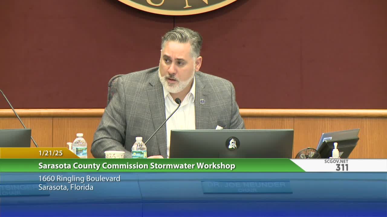
Sarasota County officials on Jan. 21 presented a multi-part plan to respond to widespread flooding tied to a series of 2024 storms, saying the intent is to overhaul how the county operates, regulates and maintains its stormwater system.
Spencer Anderson, the county’s Public Works director, said staff and an independent reviewer modeled the August "Debbie" event and found a combination of factors — an unprecedented rainfall pulse (in places exceeding 14–18 inches in 24 hours), an identified berm breach between Cowpens Slough and Phillippi Creek, and likely pipe obstructions — that together produced the historic inland flooding in the Phillippi Creek basin.
"We have enough points in the CRS program to be a class 2 community and we're working on the final touches," Anderson said, describing the county's Community Rating System status and noting a Class 2 ranking would translate into a roughly 40% discount in flood insurance for many residents.
Why it matters: staff told the board that the county’s standard design storm (the 1% annual event, 10 inches in 24 hours) was exceeded in many places during Debbie, and that updating technical rainfall curves and operational procedures could reduce future claims and damage. The presentation combined immediate operational fixes, such as plugging known berm breaches and rerouting inspections, with longer-term regulatory options including higher freeboard, volume‑based runoff limits, and updated rainfall curves.
Key facts and proposals
- Modeling and breach discovery: County staff said lidar and field inspection located a low spot in a berm allowing historic Cowpens Slough flows to bypass intended channels into Phillippi Creek; crews repaired that location and put it on the hot‑spot inspection route. The county and independent reviewer ran six scenarios to test removing the breach, altering Celery Fields gate operations, and modeling blocked pipes; staff said the breach was a major contributing factor in certain neighborhoods.
- Monitoring and data: Anderson highlighted the county’s ARMS telemetry network and the Water Atlas (hosted by the University of South Florida) and said the county is evaluating contracting with the U.S. Geological Survey to support station operation, rating-curve development and publication of streamflow/discharge data.
- Regulatory options: staff listed a broad menu of changes for the board’s future consideration, including adopting updated NOAA/USGS rainfall curves (Atlas 14 and predictive curves), raising freeboard above the current 1 foot requirement, considering volume‑based runoff limits (not just flow rate), stricter floodway/floodplain criteria, minimum culvert sizes, and reassessing lot drainage and impervious coverage rules.
- Capital and budget context: Anderson said the stormwater operating budget was roughly $27 million in FY24, the board has invested more than $83 million in flood‑mitigation projects (Celery Fields was noted as a near $40 million project), the county has roughly $52 million in partially funded capital projects and a broader unfunded portfolio of roughly $300 million.
- Next steps: staff recommended additional workshops, targeted public outreach (watershed open houses), and phased policy and operational changes. The board asked staff to return with more detailed proposals and agreed to schedule a follow‑up workshop before mid‑March to refine options.
Quotes and attributions
"This is really just the beginning of a long journey to mitigate future flooding and improve water quality across the county," Anderson said, summarizing the scope of the proposed review. Independent reviewer Steve Swal said linking asset‑management work orders to the public GIS and holding regular watershed open houses would improve public confidence and transparency.
What the county did not decide
No formal policy changes or votes were taken at the workshop. Staff framed the regulatory options as a menu for future board consideration and explicitly said some options (for example, outright bans on development in high‑risk flood areas) could raise legal and property‑rights questions that require review by the county attorney.
Bottom line and next procedural step
The board directed staff to schedule at least one follow‑up workshop (staff proposed a date window before mid‑March) and to return with more detailed cost and implementation analyses. Staff committed to continued emergency maintenance, expanded outreach and further modeling work before asking the board to adopt any specific regulatory changes.