Get Full Government Meeting Transcripts, Videos, & Alerts Forever!
Get email alerts on the Property Rights topic
No spam. Unsubscribe anytime.
Commission votes to vacate Bayshore Drive plat line to restore waterfront riparian rights
Summary
The Sarasota County Commission directed staff to vacate a platted right-of-way and to rezone lands to restore riparian rights for waterfront property owners along Bayshore Drive; the motion passed with one commissioner abstaining.
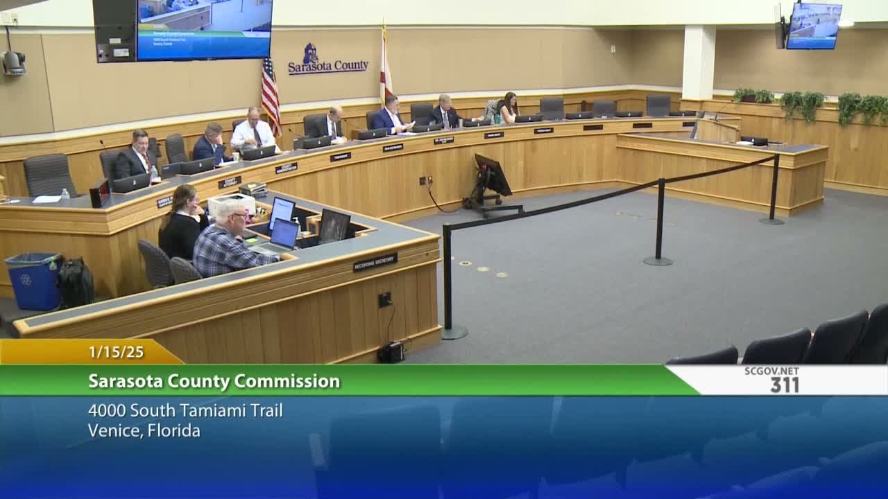
After reviewing century-old plats, surveys and a disputed 1998 deed, the Sarasota County Commission voted Jan. 15 to vacate the platted Bayshore Drive configuration that staff and residents contend unintentionally stripped waterfront property owners of riparian rights.
Commissioner Kutsinger presented historical research showing that when a 1918 plat was later remapped in 1976 a dividing line was drawn approximately down the middle of a platted Bayshore right‑of‑way. Neighbors argued that produced a split zoning condition that left some waterfront owners unable to exercise riparian privileges such as access to open water, trimming mangroves and requesting docks even though their parcels were assessed and taxed as bayfront properties.
County staff and survey work indicated that lands west of the platted Bayshore alignment are submerged and fall under mean high‑water extents; county code and case law generally recognize abutting property owners as holding the underlying fee to platted rights of way. The Board directed staff to pursue vacating and to rezone land east of the mean high‑water line to RSF (residential single family) and to ensure waters west of the mean high‑water line are zoned MP (marine/protected), and to return with any legal or surplus steps needed.
The motion passed 4–0 with Commissioner Cutsinger abstaining. Commissioners said the action aims to correct an historical mapping error and restore owner rights consistent with county zoning and state practice; staff will prepare the technical and legal steps needed to implement the change.
Next steps: Staff to work with county attorney on required deeds/surplus procedures and prepare formal ordinance/rezone actions consistent with the Board’s direction.