DRI gives midterm update on county water‑resource plans; Esmeralda serves as case study
Get AI-powered insights, summaries, and transcripts
Subscribe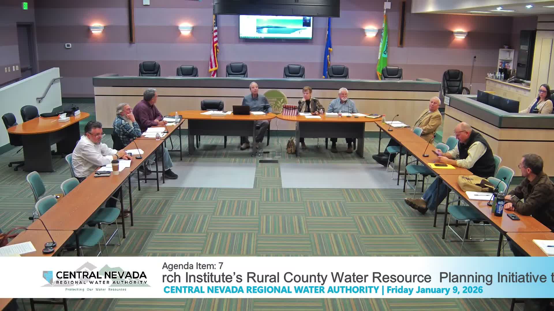
Summary
The Desert Research Institute told the CNRWA it is halfway through a two‑year, DCNR‑funded effort to develop or update county water‑resource plans for rural Nevada, with Esmeralda County used as a pilot and a focus on supply‑vs‑demand analysis, water‑rights inventories and outreach to county land‑use bodies.
The Desert Research Institute presented a midterm update to the Central Nevada Regional Water Authority on Jan. 9 about a two‑year program to develop or update county water‑resource plans for rural Nevada.
Daniel Safner, a hydrogeologist at DRI, said the initiative — funded by the Department of Conservation and Natural Resources through the Nevada Water Conservation Infrastructure Initiative — aims to compile water‑resource inventories, assess existing and projected demand by manner of use (irrigation, mining, municipal), and produce supply‑vs‑demand analyses and planning options counties can adopt. Esmeralda County is serving as a case study and DRI has drafted the first sections (water resource inventory and early demand work) for several counties including Esmeralda, Elko, Lyon, Douglas and Lander.
Safner noted plans should meet Nevada Revised Statutes requirements and be updated every 10 years; DRI expects most participating counties to have an adopted plan by the end of the grant period or carry over into early 2027 for final adoption. The team is producing both concise, public‑facing plan summaries and technical appendices for county staff and consultants.
Board members asked DRI to present to county land‑use committees and to produce an outreach package that local commissions can use. Safner said DRI will provide both a short, accessible document and a technical appendix and will present in person where possible.
The presentation reviewed maps, climate data and demand projections, and highlighted Clayton Valley and Fish Lake Valley as basins of particular interest. DRI said it has compiled groundwater level and water‑rights data for wells with at least one measurement in the past 10 years and will work with counties to refine demand projections and planning options.
Board members and county officials welcomed the approach and asked DRI to help translate technical findings into materials usable by county planning commissions and the public. DRI agreed to continue coordination and return with drafts for county review.