Get Full Government Meeting Transcripts, Videos, & Alerts Forever!
Lee County officials pause aerial-photography contract after public privacy and tax concerns
Summary
Lee County commissioners agreed to remove an aerial-photography contract from the regular meeting agenda after residents raised privacy and tax concerns; county staff and the vendor said the imagery is collected by manned aircraft for statutorily required base mapping and disaster response.
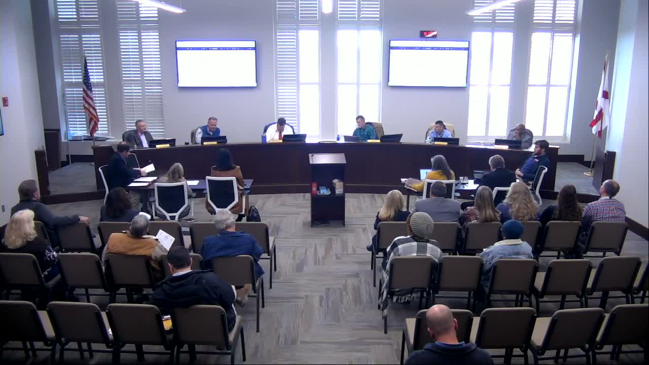
Lee County commissioners agreed during a Jan. 12 work session to withhold an aerial-photography contract from the regular meeting agenda after dozens of residents contacted the county with concerns about drones, privacy and possible increases in property taxes.
Revenue Commissioner (name not specified) and county mapping staff told commissioners the county is required by the Alabama Department of Revenue to maintain base mapping layers — including planometrics, digital terrain models and lidar — and that those layers are used by E-9-1-1, highway planning and disaster responders such as FEMA. The revenue official said the county’s mapping program is a statutory duty and described imagery as a tool for accurately locating structures and parcels.
Residents who contacted the county alleged…
Already have an account? Log in
Subscribe to keep reading
Unlock the rest of this article — and every article on Citizen Portal.
- Unlimited articles
- AI-powered breakdowns of topics, speakers, decisions, and budgets
- Instant alerts when your location has a new meeting
- Follow topics and more locations
- 1,000 AI Insights / month, plus AI Chat