Lee County officials pause aerial-photography contract after public privacy and tax concerns
Get AI-powered insights, summaries, and transcripts
Subscribe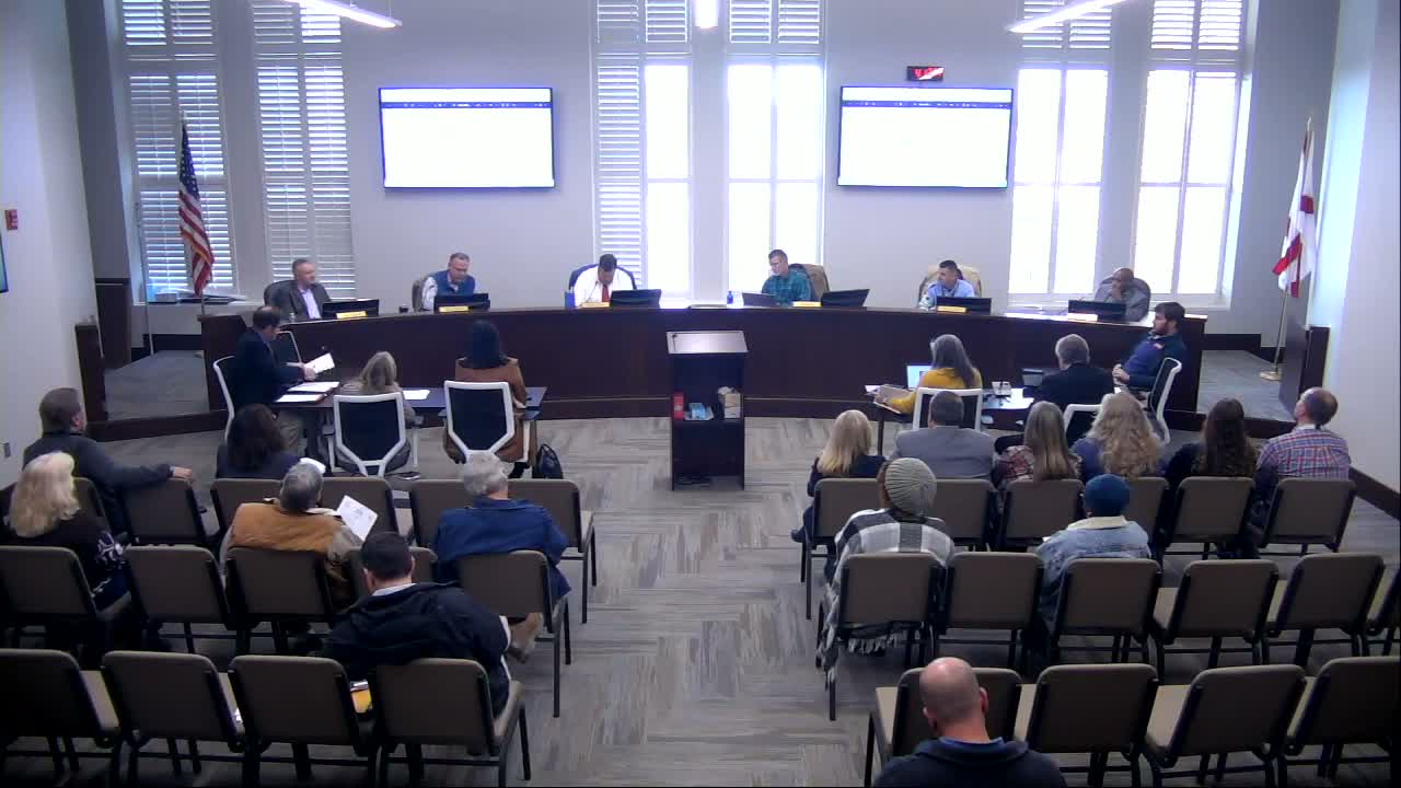
Summary
Lee County commissioners agreed to remove an aerial-photography contract from the regular meeting agenda after residents raised privacy and tax concerns; county staff and the vendor said the imagery is collected by manned aircraft for statutorily required base mapping and disaster response.
Lee County commissioners agreed during a Jan. 12 work session to withhold an aerial-photography contract from the regular meeting agenda after dozens of residents contacted the county with concerns about drones, privacy and possible increases in property taxes.
Revenue Commissioner (name not specified) and county mapping staff told commissioners the county is required by the Alabama Department of Revenue to maintain base mapping layers — including planometrics, digital terrain models and lidar — and that those layers are used by E-9-1-1, highway planning and disaster responders such as FEMA. The revenue official said the county’s mapping program is a statutory duty and described imagery as a tool for accurately locating structures and parcels.
Residents who contacted the county alleged the flight program would use drones and might lead to higher tax assessments. Commissioners and staff repeatedly disputed the drone claim during the session and emphasized that EagleView, the vendor identified to perform the work, certified in writing that the project would use manned fixed-wing aircraft operated by licensed pilots and ‘‘does not leverage unmanned aircraft systems (commonly referred to as drones)’’ for capture of imagery.
The revenue official also addressed tax concerns, saying the stated purpose of the imagery is to update base maps and to discover unreported or changed structures — not to arbitrarily raise taxes. He noted a legislative cap limits assessments to 7% in most cases and that new or significantly improved construction is typically the principal basis for assessment increases.
A commissioner asked detailed questions about contract pricing and cost allocation. In the discussion recorded during the work session, commissioners referenced milestone payments that, when summed, were described in the meeting as totaling about $724,000 with interim payments around $457,000; staff said the county’s share was presented as 50% and that allocation in the vendor model is based on area and prearranged cost-sharing rather than only assessed value.
Mapping staff described technical benefits of the proposed imagery, including oblique (angled) views that provide three-dimensional perspective helpful for identifying building roofs, fence lines and road centers — information used in legal descriptions, drainage calculations and infrastructure planning. Staff also said their mapping updates are normally on a roughly three-year cycle and that recent parcel activity (splits, consolidations and many new parcels) has increased the workload for up-to-date base maps.
Commissioners discussed public outreach strategies to correct misinformation, including interviews and social-media posts, and asked staff to prepare explanatory materials. Because of the public reaction, the revenue commissioner asked to remove the item from the agenda for further discussion; commissioners agreed and the aerial-photography contract was not scheduled for a vote that night.
The commission did not take a formal vote on the contract during the work session. Commissioners said they expect more public information and further internal review before returning the item to a meeting agenda.