Utah Lake Authority previews new trail map, 34 access points and lakewide signage plan
Get AI-powered insights, summaries, and transcripts
Subscribe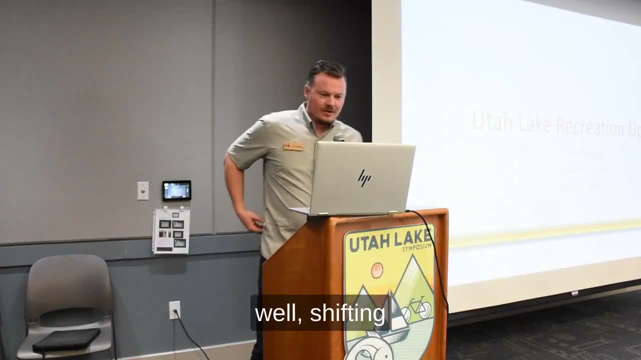
Summary
An unidentified Utah Lake Authority recreation specialist outlined a new interactive trail map, noted a corrected inventory of 34 public access points, and announced a lakewide wayfinding/signage plan and several marina and access improvements.
An unidentified speaker, a recreation specialist with the Utah Lake Authority, on stage described an updated, publicly available trail map and several near‑term projects to improve access around Utah Lake.
The specialist said Mountainland Association of Governments created a new map interface (mountainland.org/utahlaketrailplan) that shows trail‑segment status: green for complete and paved, brown for gravel/dirt, pink for funded and yellow for conceptual. "First off, we have a new map interface," the speaker said, and urged partners to review alignments, particularly from the northeast corner of Provo Bay down to West Mountain as jurisdictions update general and transportation plans.
Why it matters: the map is intended to guide coordination between cities, Utah County and the Authority as private development and new businesses — the presenter cited the incoming Buc‑ee's near Millrace in Springville — change local access needs. The Authority is also finalizing a 10‑year recreation access plan expected for board approval in January that will guide maintenance and improvements to public amenities.
The presentation corrected the Authority's prior public count: "There are 34 public access points, and this is also... good news," the speaker said, noting the figure excludes wetland preserves and locations with special management limits. The specialist also credited recent infrastructure work: the Division of Wildlife Resources made road and fence improvements at Powell Slough, and the Lake Authority contracted SNL Incorporated to improve four sportsman access roads. American Fork Marina and Saratoga Springs City Marina reopened this year after what the presenter described as multimillion‑dollar enhancements, including new beaches, restrooms, jetties, a non‑motorized swim/paddle area and playground features.
Signage and wayfinding was highlighted as a gap. The Authority launched a lakewide signage plan to establish consistent branding, colors, sign sizes and interpretive language. "If you've ever been to any of the trails at the lake, I would be I'd challenge you to tell me there's a spot that has wayfinding," the speaker said, adding the plan will define where signs go and what they will look like.
Next steps: the Authority will finalize the recreation access plan for Board review in January, continue coordination with Utah County and cities on alignment changes, and work to secure funding and easements to advance construction of missing trail segments. Partners interested in access‑point data and the new map were invited to request the Authority's reports and visit the online map.
Ending: the presentation closed with an invitation for questions and a reminder that the Authority is coordinating with multiple land managers and jurisdictions on implementation.