Get Full Government Meeting Transcripts, Videos, & Alerts Forever!
Utah Lake Authority previews new trail map, 34 access points and lakewide signage plan
Summary
An unidentified Utah Lake Authority recreation specialist outlined a new interactive trail map, noted a corrected inventory of 34 public access points, and announced a lakewide wayfinding/signage plan and several marina and access improvements.
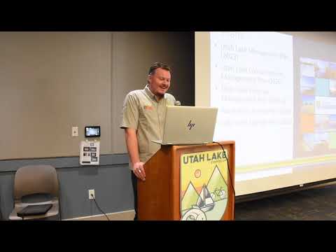
An unidentified speaker, a recreation specialist with the Utah Lake Authority, on stage described an updated, publicly available trail map and several near‑term projects to improve access around Utah Lake.
The specialist said Mountainland Association of Governments created a new map interface (mountainland.org/utahlaketrailplan) that shows trail‑segment status: green for complete and paved, brown for gravel/dirt, pink for funded and yellow for conceptual. "First off, we have a new map interface," the speaker said, and urged partners to review alignments, particularly from the northeast corner of Provo Bay down to West Mountain as jurisdictions update general and transportation plans.
Why it…
Already have an account? Log in
Subscribe to keep reading
Unlock the rest of this article — and every article on Citizen Portal.
- Unlimited articles
- AI-powered breakdowns of topics, speakers, decisions, and budgets
- Instant alerts when your location has a new meeting
- Follow topics and more locations
- 1,000 AI Insights / month, plus AI Chat