Get Full Government Meeting Transcripts, Videos, & Alerts Forever!
Lake County unveils public LiDAR‑derived maps and tools to aid wildfire planning
Summary
County and CAL FIRE officials demonstrated publicly accessible LiDAR‑derived datasets — including 1‑foot contours, canopy height and ladder‑fuels layers — and described forthcoming tree‑mortality (2026) and fine‑scale vegetation (2027) products designed to improve planning, grant applications and fuel‑reduction prioritization.
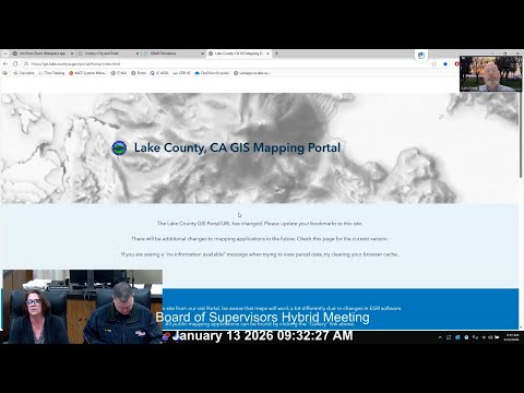
At a Lake County Board of Supervisors meeting, county staff and consultants demonstrated newly published LiDAR‑derived geospatial products now available through the county GIS portal and external download links. Presenters said the data will help landowners, planners and fire managers better target forest health and fuels‑reduction projects.
Terry, Lake County’s climate resiliency officer, introduced the demonstration and credited multiple funding partners and grants that enabled Lake County’s inclusion in a North Coast LiDAR acquisition. "Lon is gonna show the board and the public how to navigate to the GIS...named LiDAR derivatives," she said at the opening of the presentation.
Lon Sharp, the county GIS specialist, guided the board through the County Community Maps portal, showing how non‑GIS users can enable layers for hillshade, slope, aspect and canopy height; use search by address or parcel; draw polygons and measure distances; and request 1‑foot interval elevation contours via a clip‑and‑email tool. Lon cautioned that the datasets are large and…
Already have an account? Log in
Subscribe to keep reading
Unlock the rest of this article — and every article on Citizen Portal.
- Unlimited articles
- AI-powered breakdowns of topics, speakers, decisions, and budgets
- Instant alerts when your location has a new meeting
- Follow topics and more locations
- 1,000 AI Insights / month, plus AI Chat