Get Full Government Meeting Transcripts, Videos, & Alerts Forever!
Get email alerts on the Climate Demonstration Site topic
No spam. Unsubscribe anytime.
URI Coastal Institute names Block Island a climate ‘demonstration site,’ outlines two‑year 'Bluff to Beach' study
Summary
The University of Rhode Island Coastal Institute presented Block Island as a new climate-response demonstration site and described a two‑year, Sea Grant–funded Bluff to Beach project (proposal capped near $300,000) to compile bluff‑and‑shoreline data, build public ArcGIS tools and support local planning and grant competitiveness.
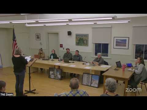
The University of Rhode Island Coastal Institute on Block Island unveiled a plan to make the island one of its climate-response demonstration sites and outlined a two‑year research project to quantify bluff erosion, sediment movement and short‑term shoreline changes.
Nathan Venatero, the Coastal Institute’s science director, said the institute aims to connect university research with local needs and funders. “We are a university institute…to be sort of a conduit between the research entity at URI and communities like New Shoreham,” he said during the committee meeting.
Bridal Oakley, a senior fellow at the Coastal Institute, described the project titled Bluff to Beach and provided scope and schedule details. “Project scheduled to start February 1… the project goes for 2 years or so from that date,” Oakley said, adding that the Sea Grant proposal is “capped at $300,000” and that final federal timing remains uncertain. The team said the start date and funding remain contingent on federal approvals and Sea Grant decisions.
The project will compile historical maps, airborne lidar, shoreline‑change maps and new field sampling to produce: (1) century‑scale and short‑term measurements of bluff retreat; (2) a first‑order sediment budget to estimate how much material moves from bluffs to beaches; and (3) public data tools, including an ArcGIS hub with digital shorelines, transects and beach‑profile visualizations. “We are going to develop an ArcGIS hub site that will house all this, and it'll be open to members of the committee, the public to come and download data,” Nathan said.
Coastal Institute staff said the designation as a demonstration site helps attract additional funding: the institute tallied about $10,000,000 of associated funding across other demonstration sites and projects. Oakley and colleagues said the Bluff to Beach work would include community‑facing outreach and training, and they proposed at least annual check‑ins with the Coastal Resilience Committee and a public workshop near project completion to present findings and teach residents how to use the tools.
Committee members asked the institute to include clear, layperson summaries with figures so non‑specialists can interpret the visualizations. A member of the public asked whether the planned tools would include future‑scenario flood mapping; Nathan described design elevation (SDE) tools that portray how storm surge interacts with sea‑level rise and said some town maps are held in local GIS work but not yet fully integrated into the statewide storm‑tools hub.
The institute said the project would prioritize open data and community usability as a Sea Grant requirement and suggested a summer training session for residents once the tools are ready. If funded, researchers penciled in a community workshop in summer 2028 as a likely outreach milestone. The committee did not take a formal vote on the proposal at the meeting; presenters asked to continue engagement and to receive the committee’s research priorities and feedback.