Pinellas County previews draft flood vulnerability assessment, says effort positions county for state resilience funding
Loading...
Summary
Pinellas County officials presented a draft countywide Flood Vulnerability Assessment that models 21 flood scenarios across planning horizons to help prioritize public-infrastructure investments and qualify the county for Resilient Florida grant funding derived from the 2021 Gaming Compact.
Pinellas County on Monday presented draft results of a countywide Flood Vulnerability Assessment designed to identify which public assets are most vulnerable to coastal storm surge, tidal flooding, extreme rainfall and groundwater rise and to help the county compete for state resilience grants.
"This assessment goes beyond technical analysis. It's a roadmap for protecting the critical infrastructure that keeps our community functioning," said Kelly Hammer Levy, director of the Pinellas County Department of Public Works, in opening remarks. County staff said the work is required to participate in Florida's Resilient Florida program and that completing the assessment helps unlock state funding for mitigation projects.
The assessment, led by Pinellas County Public Works with consultant HDR, inventories roughly two million county-level assets and runs 21 flood scenarios across multiple planning horizons (base year, 2040 and 2070). "We collected critical-infrastructure data mainly using the county's very robust asset management program," said Sharon Wright, resilience practice lead with HDR. The methodology layers exposure (whether an asset is touched by floodwaters), sensitivity (how severely it would be affected) and criticality (how essential the asset is to community functioning) to rank risk and identify focus areas.
Josie Benwell, project manager in the county's Capital Improvements Division, said the county included public facilities such as roads, drinking-water and wastewater networks, stormwater infrastructure, libraries, recreation centers, fire stations and certain regionally significant private facilities such as hospitals and Coast Guard facilities. The assessment follows Florida Department of Environmental Protection guidance that groups assets into four categories: critical community and emergency facilities; critical infrastructure (water, energy and telecommunications); natural/cultural/historic resources; and transportation (major roadways, bridges, ports and airports).
County staff outlined how public engagement shaped the analysis. The outreach program included a January 2023 workshop, tabling at community events and a 2024 survey that reached more than 600 people; Benwell said roughly 50% of respondents said flooding factors into decisions about where to live and travel, and 57% reported recurring flooding in their area as a factor that hinders recovery.
Officials cited the Resilient Florida program as the source of grant funding for this assessment and for future mitigation projects, saying the program uses funds made available under the 2021 Gaming Compact between the state and the Seminole Tribe of Florida. Benwell listed local projects that have already received or are eligible for such funding, including wastewater collection improvements, the Fleet Park shoreline protection project, Joe's Creek restoration and Cross Bayou Canal improvements.
Sharon Wright said maps and tables in the draft report show storm surge as the driver of the most severe flood depths and the most widespread impacts in coastal communities, while extreme rainfall and groundwater emergence matter in other places. Examples used in the presentation included Pinellas Park (about 150 critical community and emergency facilities in the dataset, with many affected in future scenarios) and Madeira Beach (more than 2,000 assets, predominantly stormwater infrastructure, many of which are sensitive to storm-surge and tidal scenarios).
Wright described options for selecting "focus areas"—by geography (for example, a gateway employment area near the airport), by asset type (pump stations, roadways) or by land use and population characteristics—so adaptation planning and capital investments can be prioritized. The county plans to keep the process iterative and to use the assessment as an input to adaptation planning rather than a mandate for specific projects.
During Q&A moderator Mona Gabriel (capital improvements director) asked whether the 2024 survey was conducted before the 2024 hurricanes; Benwell said the survey was completed in the summer, just before hurricanes Helene and Milton. Attendees asked about participation; panelists reported roughly 25 to 44 live attendees during parts of the session. A recorded version of the presentation will be posted on the project website and staff encouraged attendees to submit comment cards and direct questions to the project manager.
Next steps: county staff said they will finalize the report and publish an interactive map viewer, present final results to the Pinellas County Board of County Commissioners and participating municipalities, and submit the final vulnerability assessment to the Florida Department of Environmental Protection (FDEP). Officials said local adaptation plans for participating communities will follow later in the year.
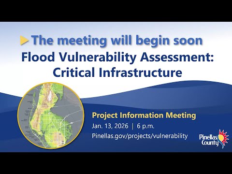
The project team asked the public to review materials on the project website (pinellas.gov/projects/vulnerability), submit comment cards, and contact project manager Josie Benwell with specific questions.