Get Full Government Meeting Transcripts, Videos, & Alerts Forever!
Get email alerts on the Floodplain Study topic
No spam. Unsubscribe anytime.
Lennox council approves $42,000 base‑flood elevation study to guide permitting and development
Summary
The Lennox City Council approved work order 25140 to pay roughly $42,000 for a base flood elevation study that will provide elevation data FEMA maps currently lack; staff said a draft could be ready in about four months and FEMA's formal review follows.
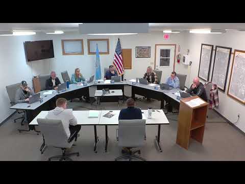
The Lennox City Council on Monday approved work order 25140, authorizing approximately $42,000 for a base flood elevation (BFE) validation study aimed at establishing elevation data FEMA’s current floodplain boundaries lack. The study is intended to give the city and future developers a consistent baseline for permitting and could reduce duplicated engineering costs.
Consultant Mitch, presenting the scope, said the study would establish elevations for the two floodplain tributaries that border Lennox (the Long Creek tributary and the Lenox tributary) so staff and developers know required building heights. “The work that we do doesn't take all that long,” Mitch said, “but the review for FEMA is at least a year‑long process,” a timeline he later clarified by noting FEMA’s formal review window is 90 days for a given submission.
Council members asked whether municipalities commonly fund such studies rather than requiring each developer to produce its own elevation work. Mitch and staff said it is common in growing communities to perform a single, comprehensive study to avoid multiple engineers doing overlapping work and to provide consistent permitting standards. Officials noted the city’s drainage fund appears to have capacity to cover the cost this year.
A resident raised concerns about how preliminary plans and map updates could affect private property, saying she was surprised a preliminary plan included more acreage than expected and that she had not been contacted; staff offered to meet privately to review preliminary plans and confirmed that the study results would be made public.
Staff estimated an internal draft of the study could be ready in about four months; council approved the work order by voice vote. The consultant said the study can be used locally for permitting immediately, even as the city pursues FEMA map revision so elevations are formally incorporated into FEMA products.
What happens next: staff will execute work order 25140 and the consultant will begin field and modeling work; the city will receive a draft report for local use and later submit materials to FEMA for formal map integration.