Prescott Valley officials review Phase 2 of wildlife corridor plan, seek input on zoning, easements and mapping
Loading...
Summary
Consultants presented three implementation pathways — land‑use alignment, habitat conservation, and an overlay map — and discussed incentives, funding options and a schedule that targets council adoption in June; commissioners and council members raised questions about incentives, public access and data gaps for pronghorn.
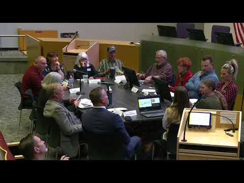
Prescott Valley officials and planning commissioners on Thursday heard a Phase 2 presentation on a proposed wildlife corridor plan that aims to guide future development, conserve high‑value habitat and create a soft overlay map to direct conservation, trail and transportation projects.
"The purpose of Planning Zoning, town council study session is to solicit input from commissioners and town council members for consideration in generation of the Town of Prescott Valley wildlife corridor plan," John Jacobson, principal planner in development services, told the joint study session as consultants from Logan Simpson began the presentation.
Consultants described three pathways within Phase 2: (1) align land‑use and development standards with environmental sensitivity through targeted general plan or zoning updates; (2) conserve high‑value habitat via conservation easements, targeted acquisition, density bonuses and transfer‑of‑development‑rights programs; and (3) create a wildlife corridor overlay and mapping effort that would be updated with ongoing research and used to guide capital projects such as wildlife crossings or an eventual overpass.
"Research is huge," Mary Geisinger, the project biologist on the Logan Simpson team, said. She and other consultants emphasized that the overlay would be a flexible, "soft" boundary updated over time rather than a fixed restriction on private land use.
Council and commission members asked detailed questions about how tools would affect existing owners, incentives for developers, and public access. Consultants said conservation easements are voluntary agreements in which landowners retain title while restricting development rights; monitoring and enforcement are typically performed by a land trust or certified easement holder, though a municipality can also hold easements.
"The land still stays with the landowner," a Logan Simpson presenter said, explaining easement mechanics and annual monitoring requirements.
Commissioners asked whether cluster development and density‑bonus programs could be implemented quickly. Bruce Meehan, CEO of Logan Simpson, described how an overlay could allow property owners to opt into clustering in exchange for multipliers that increase allowable units on a smaller footprint while preserving contiguous open space elsewhere.
Data gaps were also raised. "There aren't enough collars, GPS collars for the pronghorn," Jeff Gagnon noted during public discussion, pressing the group to pursue partnerships and grants to fund targeted research that would better identify crossing locations for capital investments.
On funding, consultants said a mix of federal and state grants, regional partnerships and a local dedicated funding source (for example, a designated portion of sales or property tax) are typical tools to support acquisition, easements, monitoring and major capital projects. They cautioned that grants often require matching funds and staff capacity to apply and administer.
Consultants cited Marana, Ariz., as a case study where phased research, general‑plan integration and monitoring of underpasses and overpasses produced predictable outcomes for development and measurable wildlife connectivity.
Next steps include drafting the implementation chapter in the coming weeks, preparing the plan for public input in March, community outreach and a joint work session in April, and a target to present a finalized chapter to the council for adoption in June.
Council and commission members stressed the need for regional coordination with Yavapai County, Arizona Game and Fish, the Arizona State Land Board and neighboring jurisdictions to avoid a patchwork of protections and to maximize the feasibility of easements and transfer‑of‑development‑rights programs.
The consultants asked the bodies for feedback on prioritization among the three pathways and on specific tools and criteria to be included in the implementation chapter. The session concluded with thanks to Logan Simpson and staff and an expression of intent to continue regional engagement as the plan moves toward public outreach.