Get Full Government Meeting Transcripts, Videos, & Alerts Forever!
Get email alerts on the Reconnect West Laramie topic
No spam. Unsubscribe anytime.
Council to consider adopting 37‑point Reconnect West Laramie plan after year of outreach
Summary
City staff presented the Reconnect West Laramie plan, which lists 37 phased recommendations to improve walking, biking and cross‑town connections in West Laramie; consultants emphasized coordination with Union Pacific and WYDOT and using the plan to pursue state and federal funding.
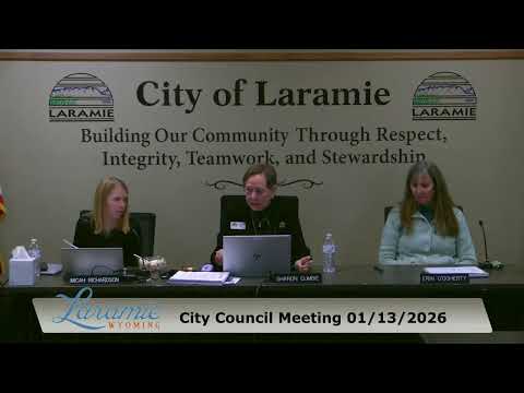
The Laramie City Council on Tuesday heard a staff presentation on the Reconnect West Laramie plan, a year‑long planning effort funded by a $250,000 Federal Highway Administration grant that lays out 37 prioritized projects to improve pedestrian, bicycle and roadway connections into West Laramie.
City staff said the plan grew from extensive community outreach — more than 400 in‑person contacts, two online surveys and more than a dozen stakeholder meetings — and was certified unanimously by the planning commission the night before. Consultant Bill (DJNA/SC group) described five east–west corridors and a set of north–south off‑street connections, with projects ranging from near‑term sidewalk and crossing upgrades to long‑term overpasses that will require Union Pacific sign‑off.
The plan identifies specific corridor interventions: six projects on the Curtis Corridor to fix multiuse path discontinuities and ramp crossings near I‑80; seven projects around the West Laramie Connector on Madison–Flint; five Garfield Corridor projects emphasizing safer footbridge landings and bicycle facilities; Spring Creek options that include two overpass concepts across the Union Pacific corridor; and longer‑range Riverside Corridor ideas tied to future growth. Projects are grouped into three tiers: Tier 1 near‑term candidates that align with city repaving and have strong community support; Tier 2 items that need more coordination with WYDOT or Union Pacific; and Tier 3 items that are longer term or development‑dependent.
Councilors welcomed the detail but pressed staff on funding and design specifics. When asked what a pedestrian improvement on Snowy Range Road might look like, the consultant said final treatments (traffic signals, pedestrian hybrid beacons or protected crossings) will be determined during project design in coordination with WYDOT. Staff emphasized that the plan is intentionally conceptual: "The tiers and project lists will be a great tool for pursuing additional funding for design and implementation," the consultant said.
Members of the public who spoke during the meeting urged attention to near‑term connector fixes and safe crossings, with one resident saying she would not want a child near the 3rd & Curtis intersection or Snowy Range Road.
If the council approves formal adoption next week as staff requested, city officials said the plan will position Laramie to apply for state and federal grants and to begin design work on Tier 1 projects. The planning commission has already certified the plan for council adoption.
What happens next: staff will present the adoption ordinance next week; after adoption the city will use the plan to pursue funding and begin design coordination with WYDOT and Union Pacific.