Get Full Government Meeting Transcripts, Videos, & Alerts Forever!
Stakeholders debate file formats, metadata and security controls for a statewide design‑data exchange
Summary
At the Jan. 6 workshop stakeholders listed commonly used data formats (PDF, CAD, KML/KMZ, GeoJSON) and recommended metadata (collection date, datum, quality level) while raising security concerns about retention, public hosting and who may access detailed maps; some operators prefer time‑limited links and nondisclosure agreements.
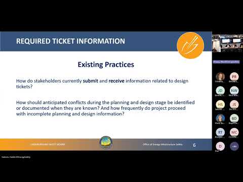
The workshop’s second discussion asked what file formats, metadata and access controls would best support a consistent statewide planning-and-design information exchange. Staff asked participants which formats are generally accepted and which are best for statewide use; stakeholders replied with a mix of GIS and document formats and cautioned about security and retention.
Participants named a broad set of commonly used formats — PDF, CAD, KML/KMZ, GeoJSON, shapefile, CSV and LAS — and recommended allowing requesters to specify preferred export formats. "PDF works best for us," said Dustin of…
Already have an account? Log in
Subscribe to keep reading
Unlock the rest of this article — and every article on Citizen Portal.
- Unlimited articles
- AI-powered breakdowns of topics, speakers, decisions, and budgets
- Instant alerts when your location has a new meeting
- Follow topics and more locations
- 1,000 AI Insights / month, plus AI Chat